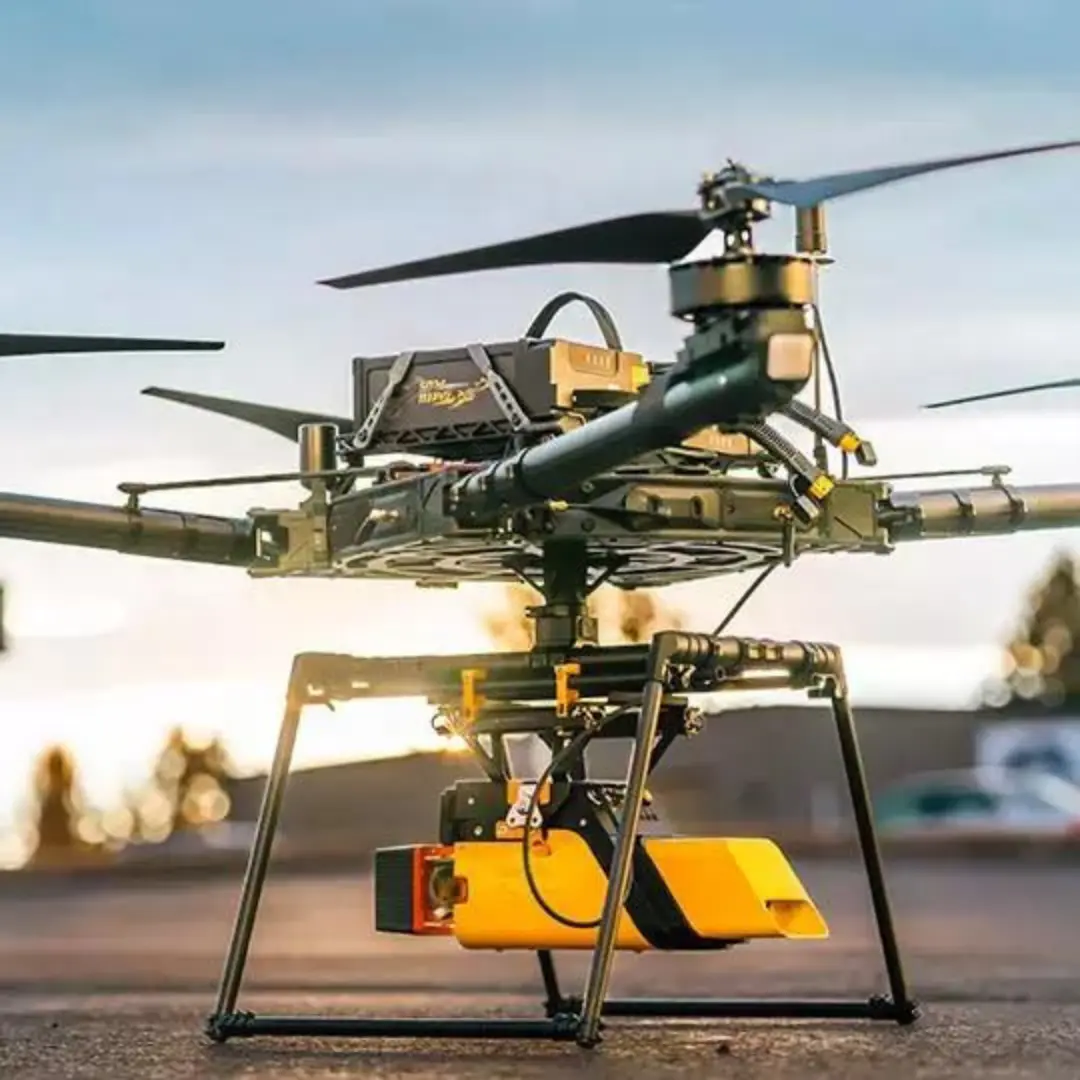
YellowScan
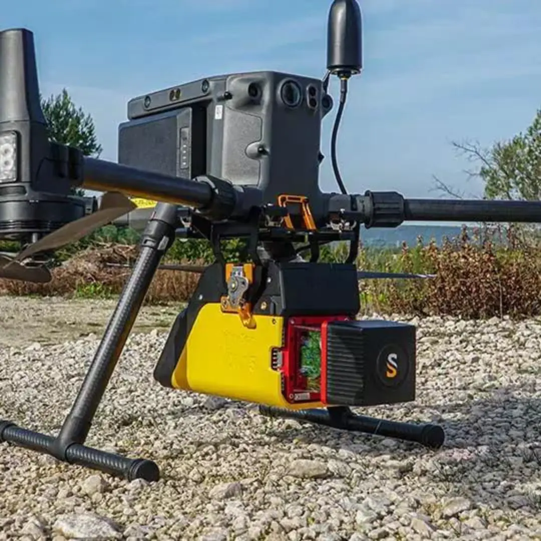
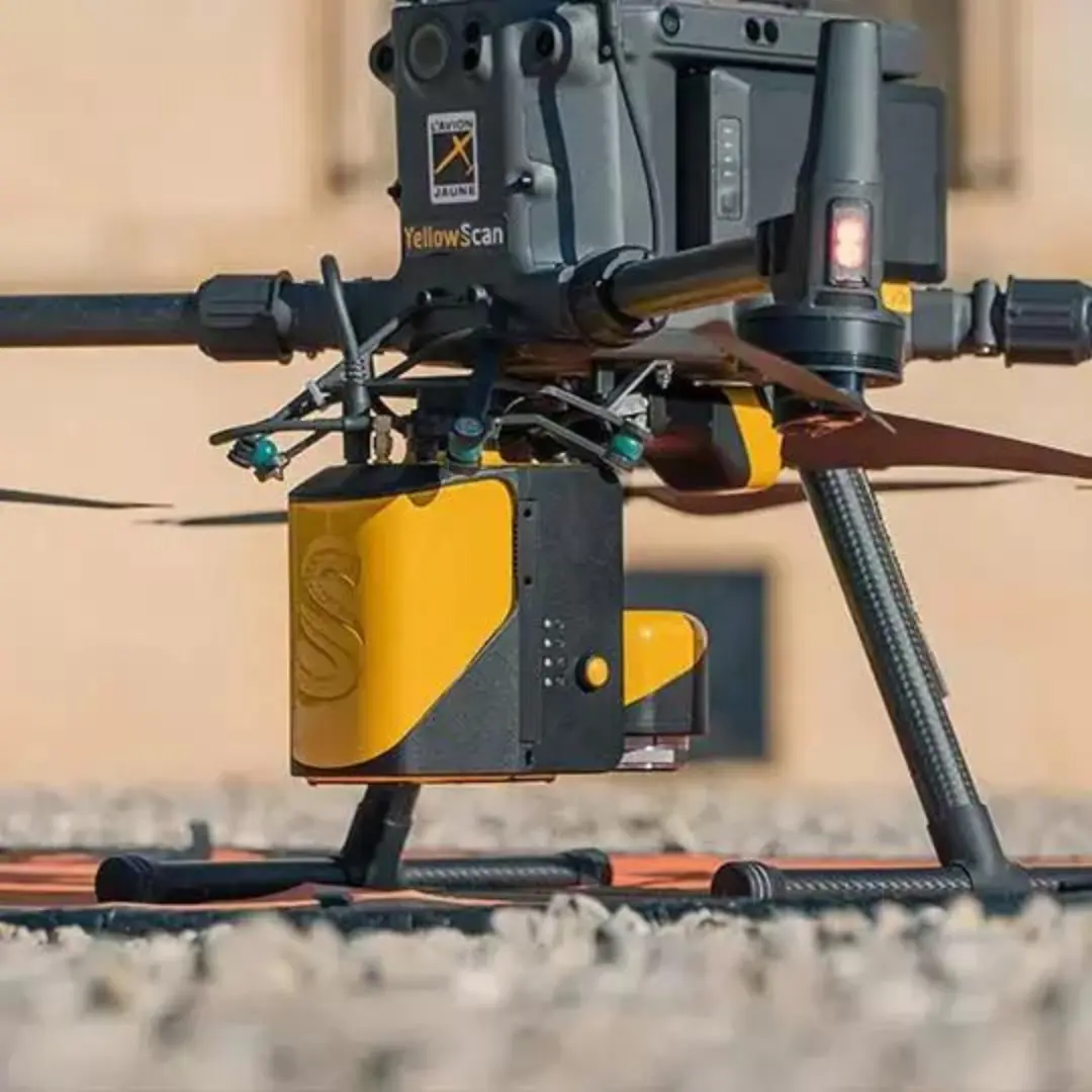
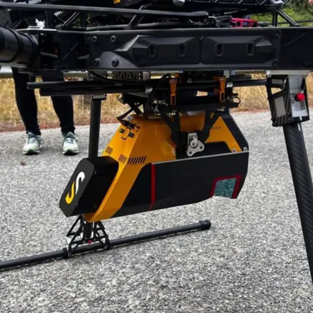
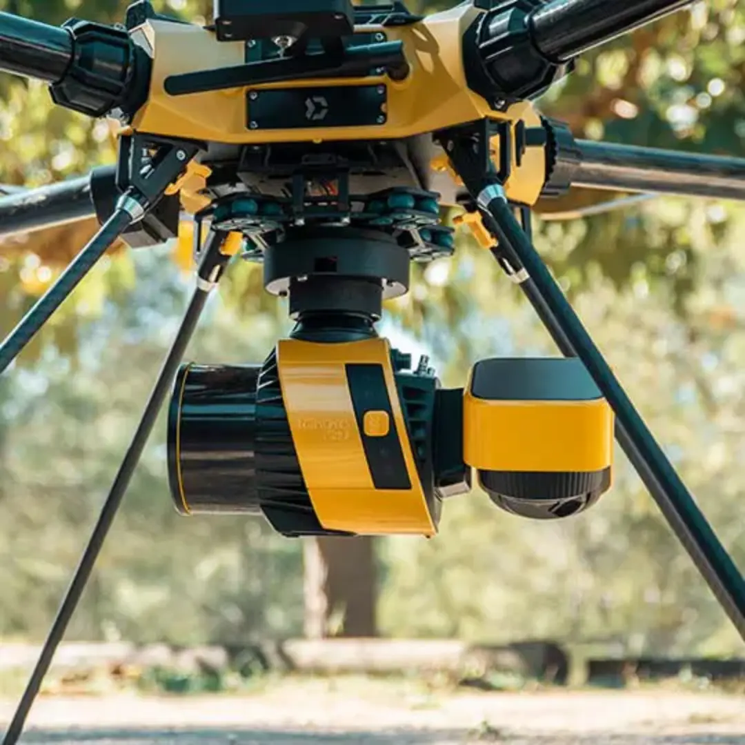
LiDAR UAV systems for professional applications.
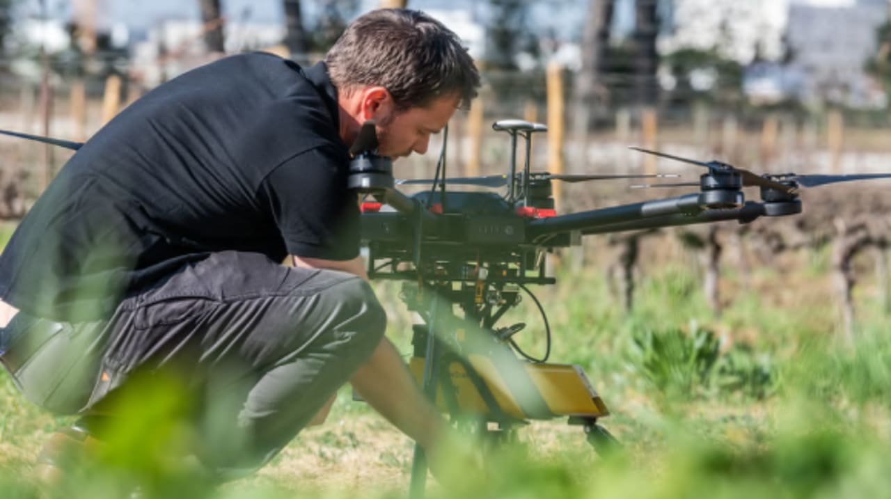
LiDAR technology has proven its effectiveness in providing accurate 3D aerial mapping data. UAV-mounted LiDAR solutions are increasingly used in commercial fields such as construction, forestry and mining, as well as in research applications and structural inspections of power lines, pipelines, roads or railways. Technical applications are constantly increasing and diversifying.

Designed for those who need accurate data. With the YellowScan data processing package you can quickly convert raw data into a geo-referenced point cloud.
LiDAR systems for drones are ideal for:
Optimise workflow to expand your business
Vegetation penetration
Hard to reach areas
LiDAR SOLUTIONS
LiDAR, short for “Light Detection and Ranging”, is an optical remote sensing technique that uses a laser to map the surface, producing accurate x, y and z measurements. LiDAR often represents the topology of the terrain in greater detail and accuracy than photogrammetry. Even in areas with dense vegetation, it is possible to obtain point clouds from the ground. In addition, it is not necessary to deploy control points, and it is possible to map in a low-light or no-light environment, which is not possible with photogrammetry.
APPLICATIONS
Mining
Difficult working conditions and the need for accurate elevation data in open pit mines make UAV LiDAR solutions the ultimate surveying tool worldwide.
Civil construction
From planning to final project delivery, LiDAR systems are an asset to the construction industry. Fast and easy 3D data collection with high accuracy and precision.
Surveying
The ability to map small areas of interest using LiDAR UAVs can greatly improve the pruning process, thus reducing mobilisation costs in mapping.
Forest
Forest management with detailed data to make the right decisions. Easier tree classification, more accurate modelling of canopy layers and terrain modelling.
PRODUCT COMPARISON
Our LiDAR drone product line is lightweight, fully integrated and battery-powered, and we’ve designed each system to meet the high-precision, high-accuracy needs of 3D mapping.
All YellowScan packages include hardware, software and services.

Voyager. (New)
KEY FEATURES
Precision meets reality
Powerful solution for aircraft
Up to 15 echoes
Multi-platform
INTEGRATION
Manned aircraft | Multi-rotor UAVs | Fixed-wing UAVs
INFORMATION
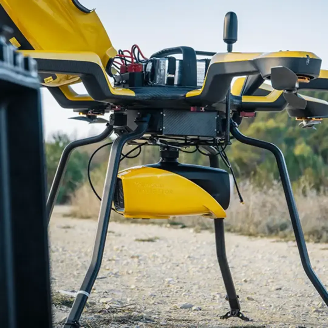
The YellowScan Voyager is a powerful solution for both manned and unmanned aircraft.
The specifications of the laser scanner can be adapted to your different design and platform needs. With the wide field of view of your laser scanner, all points are oriented towards the ground, which means no loss of points.
SPECIFICATIONS
AGL altitude: 440m
S System accuracy
System accuracy:1cm
Battery excl. weight: 3,5 kg

Surveyor Ultra. (New)
KEY FEATURES
Typical flight altitude: 100 m AGL (328 ft)
System accuracy: 3 cm (1.2″)
System accuracy: 2.5 cm (1″)
Battery weight excl.: 983g (2.17lbs)
INTEGRATION
Helicopter drones | Multi-rotor drones | Fixed-wing drones | Vehicles
INFORMATION
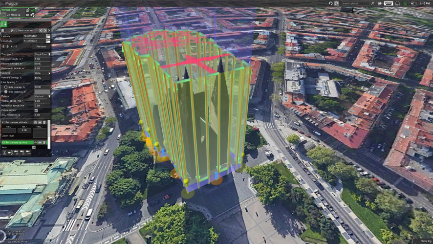
With its 360° field of view, the YellowScan Surveyor Ultra meets the needs of vertical mapping and mobile mapping when combined with Fly&Drive. Penetration into vegetation is unparalleled thanks to the system’s 32 laser beams.
PREVIOUS MODEL
High dot density
Maximized range
Can be quickly mounted on any UAV
360° field of view
——————————————–
Recommended AGL: 90m
System accuracy: 3 cm
Battery weight excl.: 1.32 kg

Fly&Drive.
KEY FEATURES
Mobile mapping solution
Easy UAV/vehicle switching
Low power consumption
LiDAR unit option: Surveyor Ultra
INTEGRATION
Multi-rotor drones | Fixed-wing | Vehicles
INFORMATION
Designed to be easily changed from vehicle to UAV in minutes.
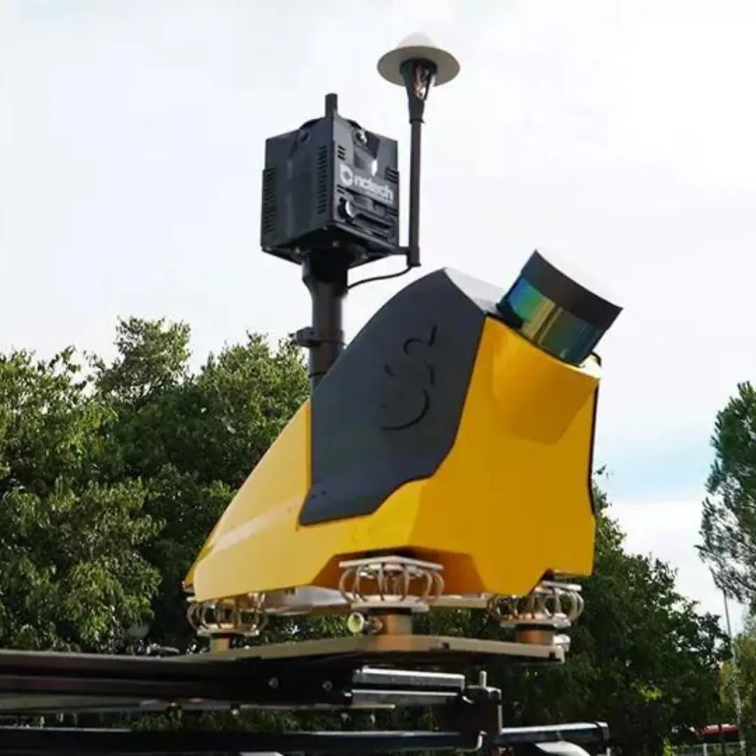
Designed to be easily switched from vehicle to UAV in minutes, the YellowScan Fly&Drive is a versatile vehicle-mounted or UAV-mounted mobile terrestrial mapping system that combines high-resolution laser scanning and precise positioning to collect georeferenced point clouds for a wide range of applications.
SPECIFICATIONS
Typical driving speed: Up to 50 km/h
Accuracy: 10 cm
Accuracy: 5 cm
Maximum range: 200 m

EXPLORER. (New)
KEY FEATURES
Maximum range: 300 m (985 ft)
System accuracy: 2cm (0.8″)
Battery weight excl.: 1.8kg (4lbs)
INTEGRATION
Manned aircraft | Multi-rotor drones | Fixed-wing UAVs
INFORMATION
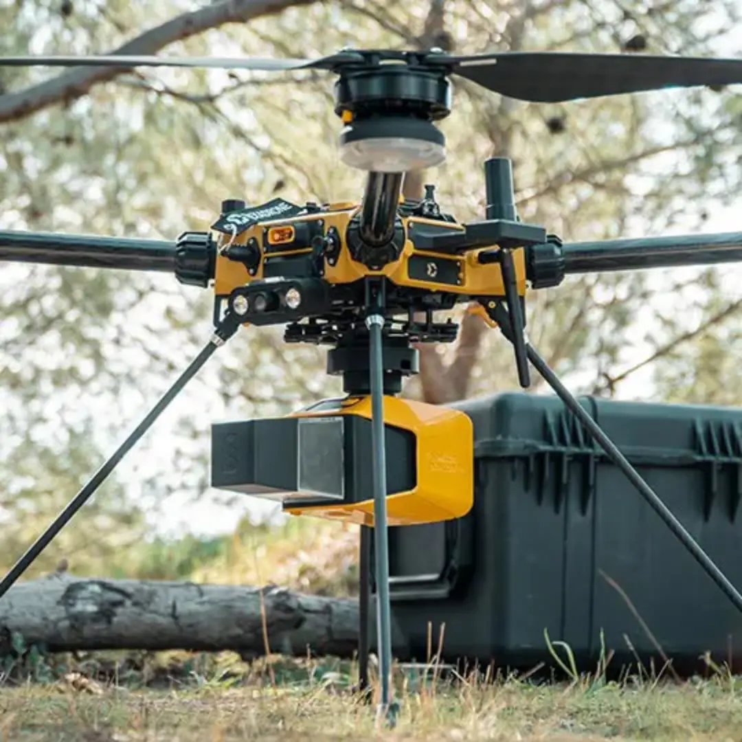
Explorer is the first compact, versatile and long-range platform on the market. It is the culmination of several years of research and development carried out by YellowScan in close collaboration with customers and partners around the world.
PREVIOUS MODEL
Greater range
Compact and lightweight
Multi-platform
APX-20 IMU reader
———————————————–
AGL altitude: 300 m
System accuracy: 2.6 cm
System accuracy: 2.2 cm
Battery weight excl.: 2.3 kg

Mapper.
KEY FEATURES
The best price-quality
Light weight
Automatic alignment
High point density and advanced accuracy
INTEGRATION
Helicopter UAV | Multi-rotor UAV | Fixed-wing UAV
INFORMATION
The YellowScan Mapper UAV LiDAR system is equipped with a high-performance Livox Horizon laser scanner from Livox, a DJI-backed company. With a high density of points, this LiDAR sensor allows our LiDAR system to easily fly at 70m AGL with a range of 120m. The YellowScan Mapper enables fast, accurate and cost-effective data collection.
SPECIFICATIONS
AGL Altitude: 70m
System accuracy: 2cm
System accuracy: 3cm
Battery excl. weight: 1,5kg

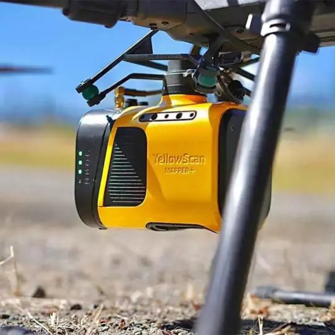
Mapper+.
KEY FEATURES
High density of dots
Light weight
100 m flying height
Livox AVIA laser scanner
INTEGRATION
Helicopter drones | Multi-rotor drones | Fixed-wing drones
INFORMATION
The YellowScan Mapper+ can be mounted on a wide range of UAV platforms thanks to its low weight. It integrates the Livox AVIA laser scanner together with the high-performance GNSS inertial navigation system into a lightweight, self-contained and easy-to-use LiDAR system. Proven capabilities and stable results in a wide range of applications.
SPECIFICATIONS
AGL Altitude: 100m
System accuracy: 2.5 cm
System accuracy: 3 cm
Battery weight excl.:1,1 kg

Vx15 Series.
KEY FEATURES
High precision point cloud
Calibrated intensity value
Maximum range
Proprietary technologies: Applanix and Reigl
INTEGRATION
Helicopter drones | Multi-rotor drones
INFORMATION
YellowScan has designed a fully integrated and easy to use LiDAR system that includes the famous Riegl laser scanner and the Applanix APX-15 IMU from Applanix UAV.
The YellowScan Vx15 is an excellent solution for your high-flying UAV projects with short-term data processing needs.
Its size is ideal for all types of UAVs.
SPECIFICATIONS
System accuracy: 1 cm
System accuracy: 5 cm
Weight: 2,6 kg
Autonomy: 1,5h

Vx20 Series.
KEY FEATURES
Highest accuracy
High-precision point cloud
Maximum range
Proprietary technologies: Applanix and Reigl
INTEGRATION
Helicopter drones | Multirotor drones
INFORMATION
Longer range and a more accurate system were the prerequisites for the Vx series. YellowScan Vx20 is the most accurate fully integrated system in the YellowScan product range. It can fly up to 100 m while maintaining accuracy throughout the entire point cloud. The Vx20 series is ideal for applications requiring sharp and accurate descriptions.
SPECIFICATIONS
Precision: 1 cm
Accuracy: 2.5 cm
Maximum range: 100 m
Battery weight excl.: 2,84 kg
CLOUDSTATION SOFTWARE

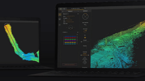
YellowScan CloudStation offers a complete software solution for creating and manipulating point cloud data.
It allows data to be extracted, processed and visualised immediately after flight acquisition. Automatic strip generation and LAS file production are now done with just a few clicks.
Key features
- Easy-to-use graphical user interface
- Automatic or customised track selection
- Processing and exporting in .LAS format
- Advanced visualisation tools
- Project definition: coordinate system, LiDAR profile, angle range.
OPTIONAL MODULES

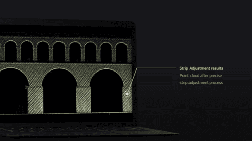
STRIP ADJUSTMENT
Even with high-end systems, data refinement is necessary to improve accuracy and precision; the catch is that strip adjustment software is often complex. Here, the adjustment of the flight line or swath and the production of LAS files is done in a few clicks.
LAND
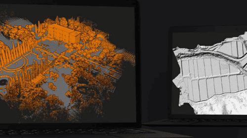
Export classified point clouds from CloudStation’s LiDAR software.
The Terrain module offers customers an improved and simplified experience for classified point cloud extraction, resulting in greater efficiency and time savings.
COLOURING
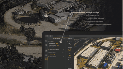
The colourisation module allows point cloud data generated by a flight to be combined and merged with multiple photographs taken simultaneously, generating a colour point cloud. The colourisation process automatically adjusts the alignment of the camera with the LiDAR on each flight, ensuring.
ACCESSORIES
Stay on mission longer with trade accessories

Mounting bracket (DJI M600/300)
Total weight: 392 g (0,86 lb)
Compatibility with: Vx and Surveyor series
Quick release
Includes
Quick Mount
Screws and hooks

Dual Cam
Total weight (without cam): 364 g (0.8 lb)
Compatible with: Sony a6000
Includes
U-shaped dual camera mount
Sync cable (LiDAR to camera)
Robust film

Single Camara
Total weight (without cam): 250 g (0.55 lb)
Compatible with:
Sony a6000 or A7R y MicaSense Altum
Includes
U-shaped single camera mount
Sync cable (LiDAR to camera)
Reinforced housing

Mapper Camara
Total weight (including lens): 350 g (0.75 lb)
Compatible with YellowScan mapper
Specifications
Sensor: Tipo APS-C Exmor CMO
Camera lens: Sony SEL-16F28