FOREST AGRICULTURE
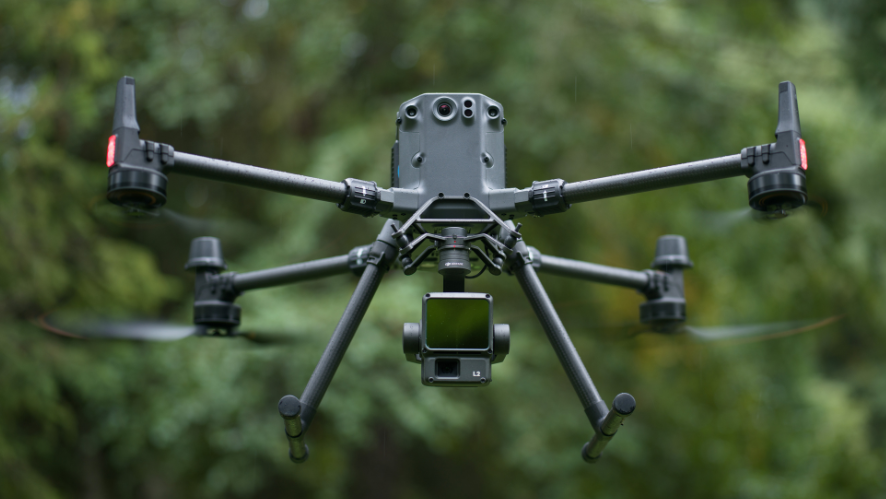
Drones for agriculture and silviculture
DRONES IN AGRICULTURE
AGRICULTURE 4.0
Precision farming is the future and, as they say, “the future is now”.
For many years, farmers would walk the fields monitoring the health of their crops, checking the condition of the crop, but today it can be different.
With the development of agricultural drone technology, it is now possible to build and get a richer and more complete picture of your fields, improve efficiency and maximise the results of your business. By using drones or also known as UAVs (Unmanned Aircraft Vehicle), we can quickly and efficiently inspect, track and increase agricultural production.
Drones can cover large areas faster and provide real-time information compared to traditional methods, and are non-invasive to crops.
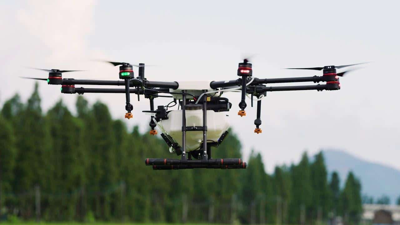
THE USE OF DRONES – VITAL FOR FARMERS AND PRODUCERS
Drones can cover large areas more quickly and provide real-time information compared to traditional methods, as well as being non-invasive to crops.
The data collected with these resources and the use of correctly applied sensors can be important for the detection of diseases and pests, for identifying problems in the irrigation system, as well as for carrying out longitudinal studies of the crop and improving cultivation models. All this allows assertive decisions to be made for both investment and business strategy, helping to reduce production costs, environmental impact and associated risk, as well as increasing efficiency.
In short, the use of drones is vital for farmers and producers who want to improve their business, avoid economic losses (such as agricultural damage and potential productivity) monitor, plan and manage their farms effectively – Avoiding the waste of natural resources such as water and offer a sustainable product with greater value to the market, while saving other important resources such as time and money.
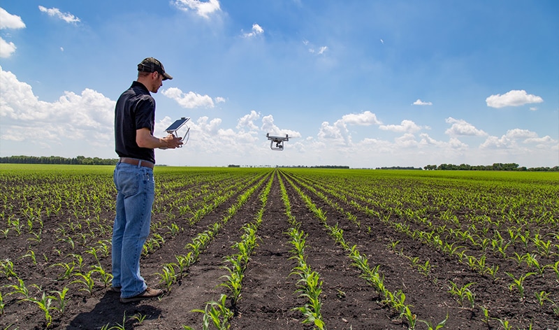
TECHNOLOGIES AND APPLICATIONS FOR AGRICULTURE
FOREST INSPECTION
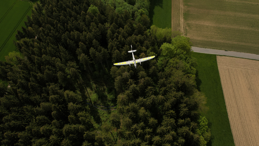
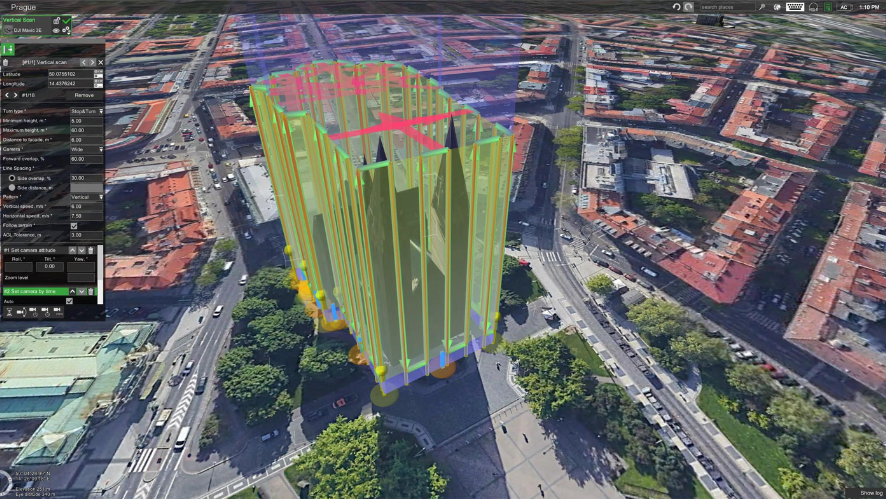
The use of drones or UAVs in forestry has become increasingly common around the world. They are used as a more affordable, fast and accurate method of capturing data.
They have the ability to monitor tree populations, landscapes and hard-to-reach areas. Organisations are increasingly benefiting from the application of drones for forestry and environmental inspections.
PHENOTYPING
Manually measuring plant characteristics is a time-consuming process. Thanks to drones, we can capture more data in less time, allowing experts to understand how different species react to certain environments and modify characteristics to improve their productivity.
MAPPING CROP HEALTH
Low chlorophyll content is often an early indicator of plant stress. Using a drone with a multispectral sensor we can capture visible and invisible spectral bands. From the different bands, indices can be generated to see individual chlorophyll levels in plants and compare them over time.
WATER MANAGEMENT
The use of drones can provide powerful information on water management. For example, the data obtained (NIR band colour composites (such as CIR)) can help crop managers identify excessively wet or dry areas. In addition, areas that are over-watered will be highlighted. With thermal cameras it is possible to create water stress maps to follow the irrigation season with maximum accuracy and optimise the water resource.
FERTILISER MANAGEMENT
We can easily identify areas with low nutrient content, but also help to observe the effects of fertiliser applications throughout the campaign or season and determine if a new application is needed, when and where.
IDENTIFYING DISEASES
Farmers can identify diseases earlier and act more quickly to stop their spread. With the use of drones / UAVs we can do faster and more accurate monitoring, which also allows early and assertive intervention.
SPECIES DIFFERENTIATION
Some differences between species may not be visible to the naked eye. High quality multispectral data makes it possible to differentiate species by highlighting characteristics such as chlorophyll content, vigour and leaf size.
WEED DETECTION
Using these resources enables a developed analysis with various data that can identify and highlight weeds, as weeds can have a different spectral signature to the crop grown.
ADVANCED CROP VERIFICATION
These new technologies provide advanced field verification capabilities. Accurate, geo-referenced information of a problem can be collected in a single flight, making it easier to assess the situation and determine the appropriate intervention.
TERRAIN MODELLING
One of the advantages of drones or UAVs, is the generation of aligned results, which can be used to create Digital Surface Models (DSM). A DSM provides important information on water management, land use and terrain elevation.
ADVANCED CROP VERIFICATION
Using collected data, it allows the detection of irrigation leaks. The reflectance of plants located in areas with excessive irrigation varies from the rest of the field, often appearing healthier and showing high NDRE (Normalised Difference Red Edge) values.
PLOT AREA
The division of the parcels into homogeneous areas of vigour/soil/potential productivity allows for an increase in the quality and quantity of the product, as it permits the differentiated application of production inputs and a more efficient harvest, which becomes crucial in the improvement of quality in crops such as vines.
SOLUÇÕES ENTERPRISE
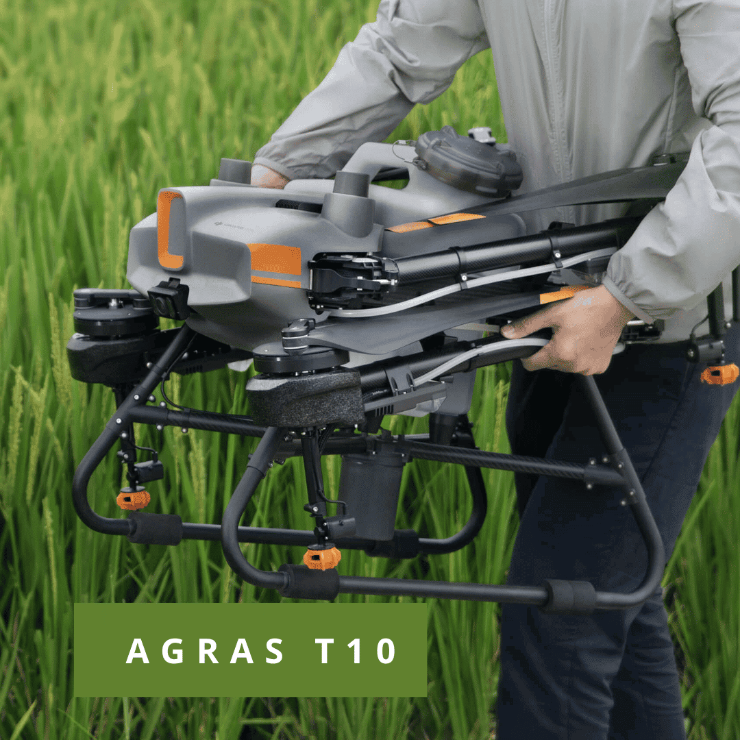
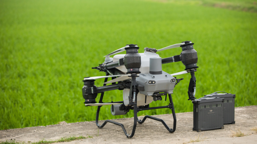
COMBO AGRAS T10
1x Drone Agras 10
1x Charger
3x Batteries
1x Generator (optional)
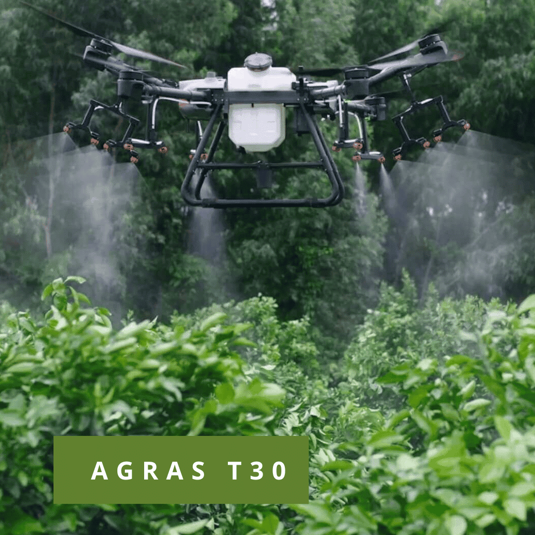
COMBO AGRAS T30
1x Drone Agras 30
1x Charger
3x Batteries
1x Gerador (opcional)
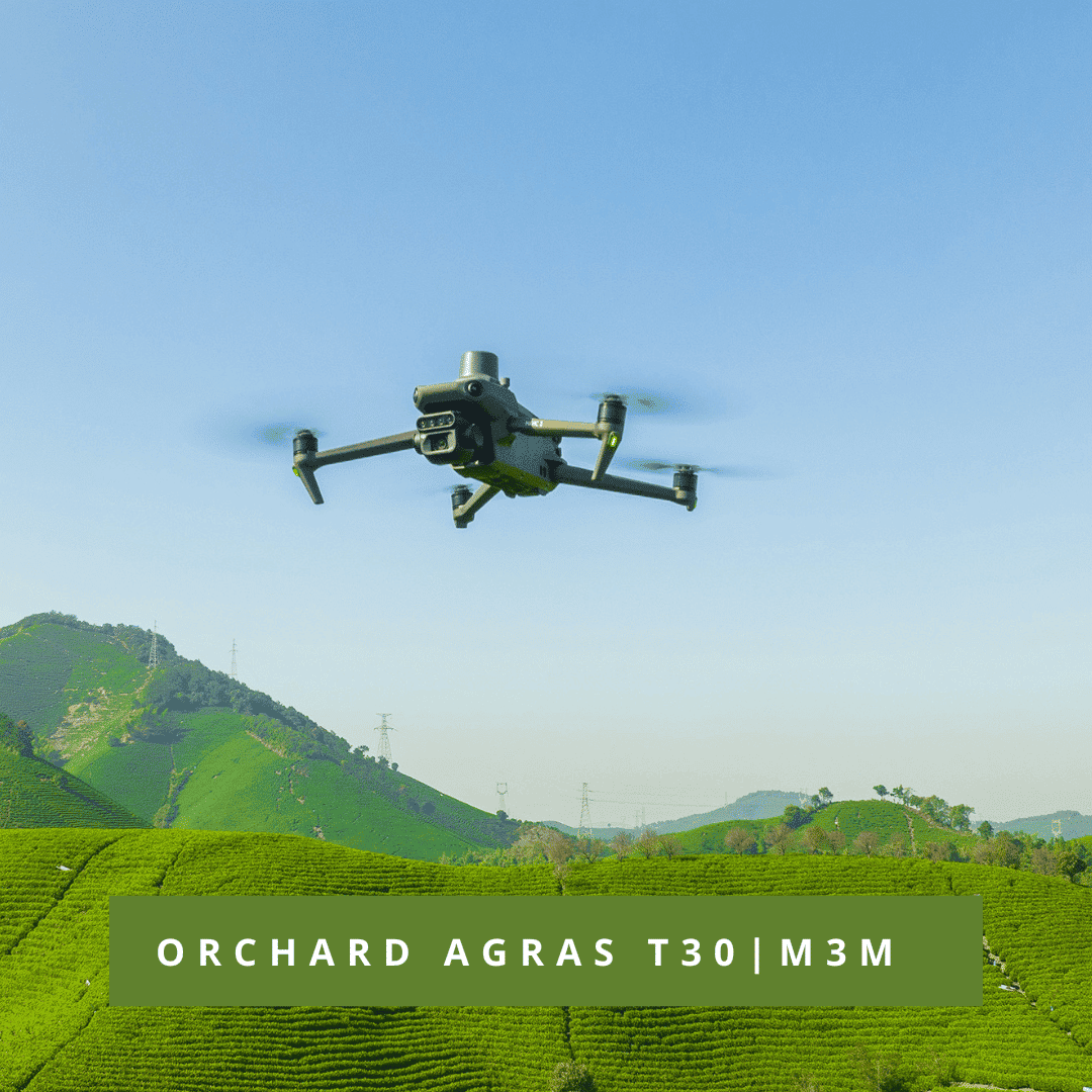
COMBO ORCHARD AGRAS T30 | M3M
1x Drone Agras 10
1x Charger
3x Batteries
1x Generator (optional)
1x Drone Mavic 3 Mutispectral
1x RTK Module
1x D-RTK 2
1x Tripod
Software DJI TERRA
FREQUENT QUESTIONS
Why are drones being used in agriculture?
Drones are being adopted more in agriculture because of the large volume of analysis they can do in a relatively short period of time. Being able to topographically survey a field, estimate crop yields, prevent disease or keep track of the crop or animals means owners can be more efficient.
What are the benefits of using drones for agriculture?
It allows every inch of every field to be monitored and analysed. It greatly reduces the time spent walking in the field. With high resolution images, the aerial view of the field allows you to zoom in on areas of interest without losing clarity – useful for immediate identification and GPS tagging of:
- Weed populations
- Poor crop emergence
- Biotic demage
- Abiotic damage
- Water stress or irrigation failure
The use of multispectral detection technology enables early identification of potential crop problems. We can export processed drone data in a variety of file formats for direct integration with existing software tools. We have an RTK drone solution for greater data accuracy and collaboration with current systems. Perform accurate counts of cattle or other animals.


