DRONES FOR TOPOGRAPHY
Cartography, agriculture, forestry
HOW CAN DRONES BENEFIT SURVEYORS?
You can now collect data five times faster than with traditional methods.
Thanks to their ability to record data quickly and efficiently, drones have been successfully integrated into surveying, photogrammetry and 3D mapping, among others.
Drone surveys can benefit different sectors, such as construction, mineral exploration, agriculture, urban planning and land management, public safety and environmental assessment.
WHAT IS A DRONE SURVEY?
A drone survey is an aerial data collection conducted by a drone.
Using sensors, such as RGB or multispectral cameras, among other payloads, drones can quickly capture a large amount of data.
This information helps to make informed decisions and provides valuable information, including the identification of errors and potential problems.
WHAT RESULTS CAN WE OBTAIN FROM THE USE OF DRONES IN SURVEYING?
Drone surveying offers the potential to produce a wide variety of results, depending on the sensor chosen to collect the data, as well as the software.
2D CARTOGRAPHY
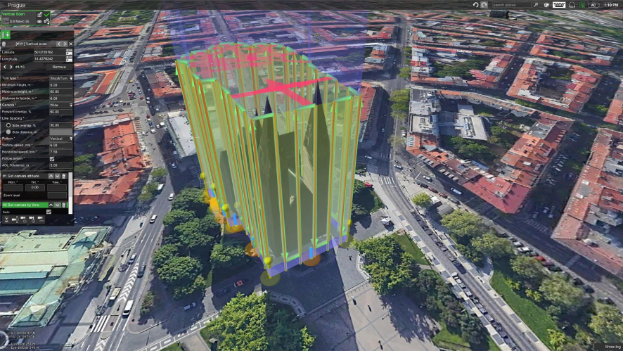
3D CARTOGRAPHY
VOLUME CALCULATION
THERMAL MAPPING
LiDAR CARTOGRAPHY
POINT CLOUDS
CONTORNOS
WHAT ARE CONTROL POINTS or GCPs?
To help capture accurate data, RTK can reduce the need for GCPs.
When it comes to achieving centimeter accuracy in drone mapping, the use of GCPs has been the main recurring method. Ground control points – or GCPs – are points marked on the ground that have a known geographic location.
For aerial survey applications, GCPs are often required as they improve the positioning and accuracy of mapping results.
This method can be laborious and time-consuming, as it requires accurate plotting and collection of the location of multiple control points, which requires a great deal of preparation and can be complicated in areas that are difficult to access.
There is a way to minimize or eliminate the need for GCPs by using positional correction technologies such as RTK and PPK. Drones such as the DJI Phantom 4 RTK benefit from this technology to help optimize their drone reconnaissance missions.
WHAT ARE CONTROL POINTS or GCPs?
Para ayudar a capturar datos precisos. RTK can reduce the need for GCPs.
When it comes to achieving centimeter accuracy in drone mapping, the use of GCPs has been the main recurring method. Ground control points – or GCPs – are points marked on the ground that have a known geographic location.
For aerial survey applications, GCPs are often required as they improve the positioning and accuracy of mapping results.
This method can be laborious and time-consuming, as it requires accurate plotting and collection of the location of multiple control points, which requires a great deal of preparation and can be complicated in areas that are difficult to access.
There is a way to minimize or eliminate the need for GCPs by using positional correction technologies such as RTK and PPK. Drones such as the DJI Phantom 4 RTK benefit from this technology to help optimize their drone reconnaissance missions.
PPK VS RTK
Drone pilots can take advantage of PPK (post-processed kinematics) and RTK (real-time kinematics) positional correction technologies during reconnaissance and mapping missions. But what is the difference?
RTK is a GPS correction technique that provides real-time corrections to location data during drone flight. This correction occurs in real time by triangulating the GPS and RTK antennas of the drone and the antennas of a known point, such as a reference station or RTK base. This technology is a major advantage in the industry, as it ensures accurate data collection and navigation even over long distances.
PPK is another GPS correction technique that allows correcting the location of the data. However, unlike RTK, this is done in post-processing, after the flight has been completed.
In other words, this means that in terms of position correction, RTK does it during the flight, while PPK makes the corrections afterwards.
Both technologies are advantageous in certain situations. RTK requires an Internet connection if a reference station position is used, so when the areas to be surveyed are in remote locations PPK may be a more advantageous option. In urban areas, the RTK system may be more advantageous, as it is not necessary to collect observations with a total station, a process that can be time-consuming to achieve high accuracy.
PHOTOGRAMMETRY VS LIDAR
The choice between photogrammetry and LiDAR depends on the mission objective and budget.
Photogrammetry is a technique that combines a large number of high-resolution images, usually captured by drone payloads, over a specific area to create high-quality reconstructions. These images can be used to reconstruct the terrain in 3D by overlaying images and terrain control points. Photogrammetry is best suited for agricultural surveying and mapping, visual inspections, mining, wide coverage combined with high horizontal and vertical accuracy.
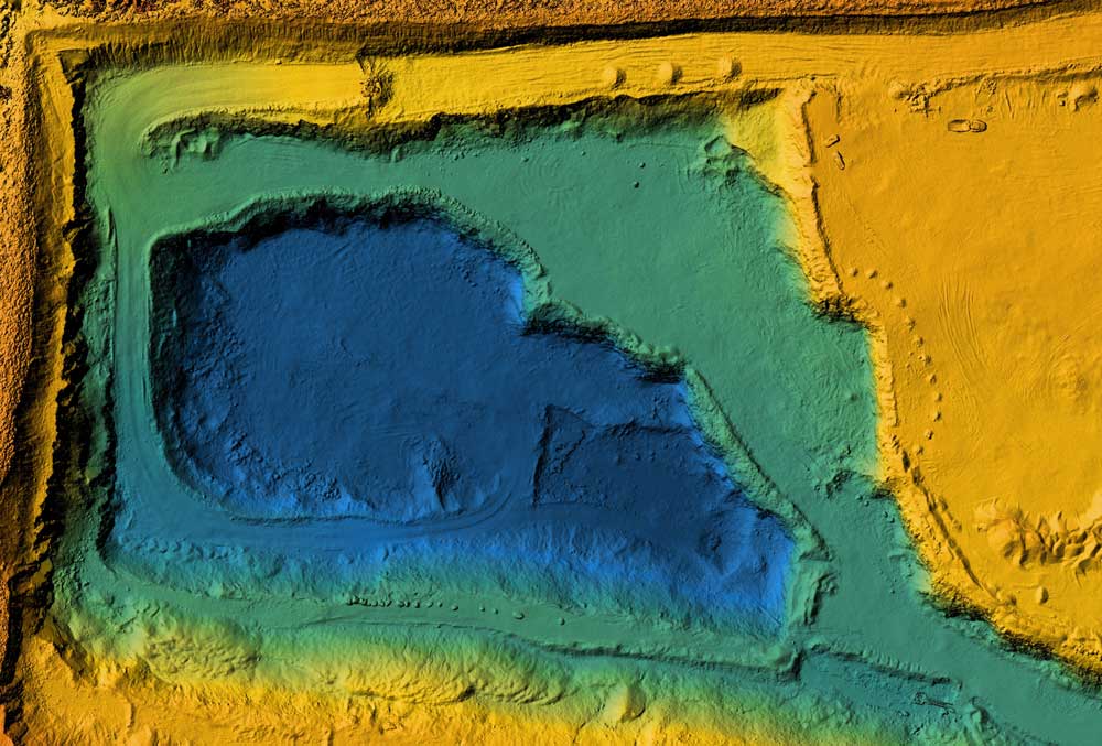
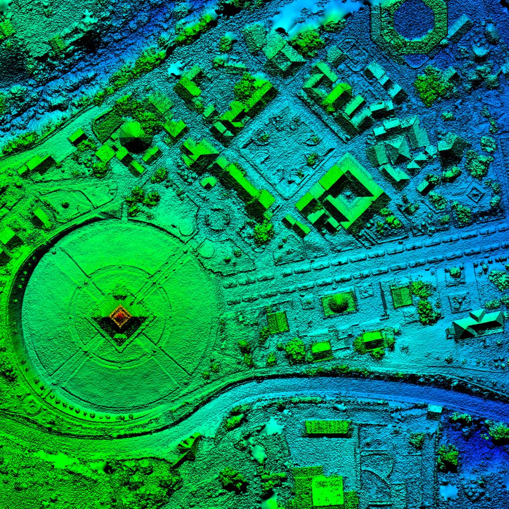
In contrast, LiDAR (Light Detection and Ranging) is a remote sensing technology that uses fast laser pulses to map the surface. LiDAR is useful when used to create high-resolution digital surfaces and terrain and elevation models.
One advantage of photogrammetry is that it generates high-resolution color information for each point on that model, providing a clear visual context. However, when it comes to mapping densely vegetated terrain, where light pulses can still penetrate between branches and leaves, LiDAR obtains very detailed information.
ENTERPRISE SOLUTIONS
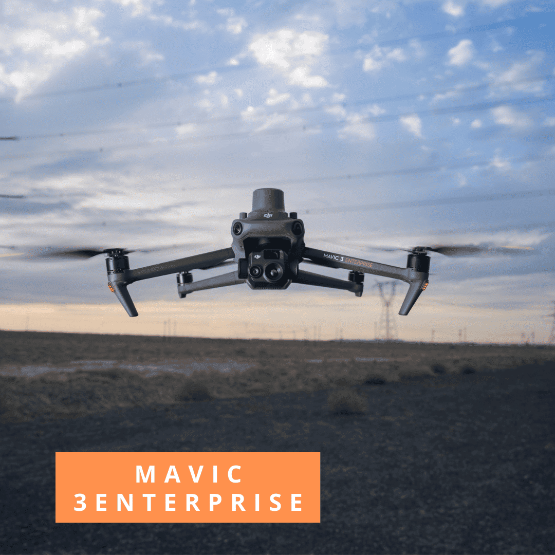
COMBO MAVIC 3 ENTERPRISE
1x Drone Mavic 3 Enterprise
1x Module RTK
1x Battery
1x D-RTK2
1x Trípod
1x Pix4D Mapper (optional)
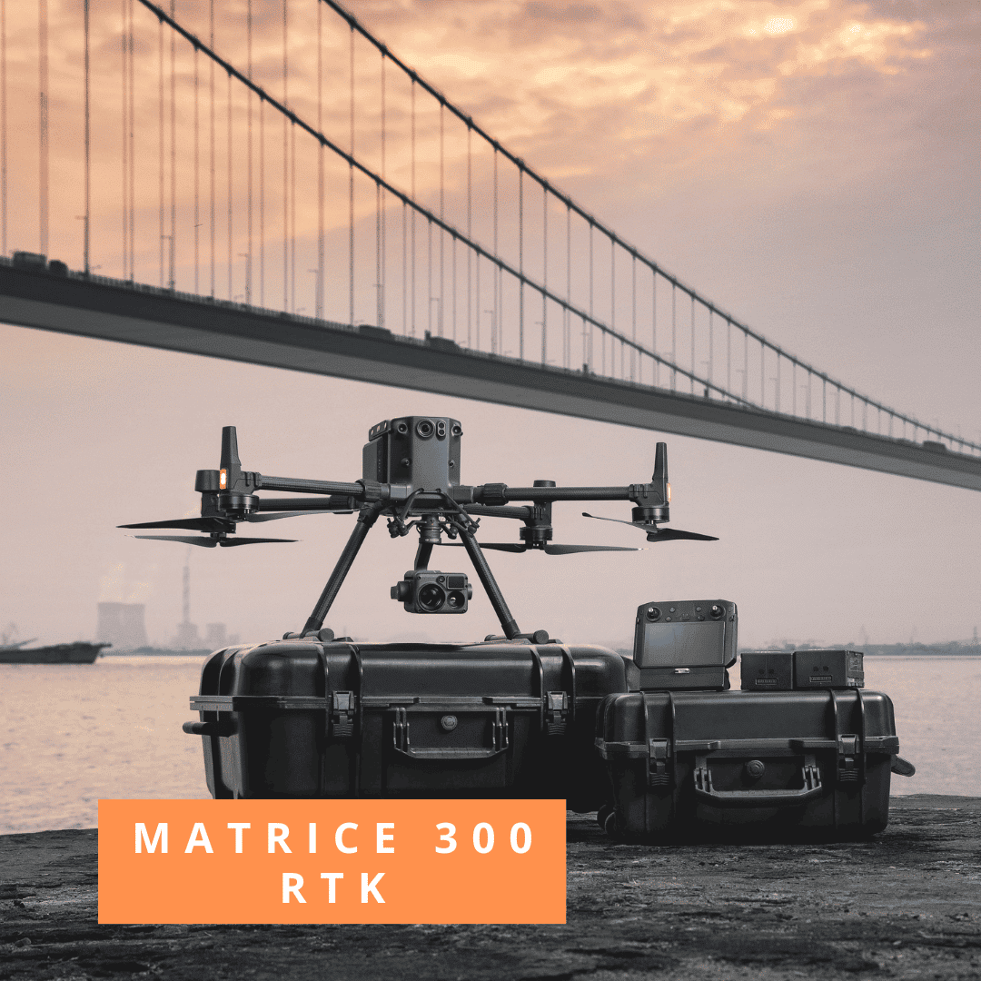
COMBO MATRICE 300 RTK
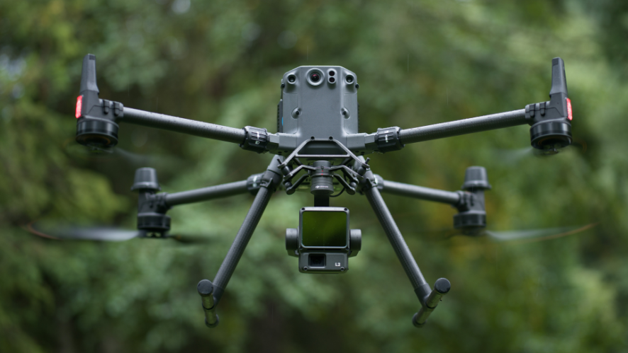
1x Drone Matrice 300 RTK
6x Battery
1x TB60 Battery
1x Zenmuse P1
1x D-RTK
1x Tripod
1x Pix4D Mapper/Matic (optional)
FREQUENT QUESTIONS
Will drones replace surveyors?
Surveying has many avenues beyond photogrammetry, many of which are not possible with drones and do not provide the necessary accuracy. However, drones are an important and very effective method of collecting topographic data, which are becoming a much more common tool for data collection. Drones will not replace surveyors, they will just enable them to get better results quickly.
Does the benefit of owning a drone with RTK functionality go beyond surveying and construction?
Yes. The Phantom 4 RTK has potential benefits in the surveying industry with grid organizations using the Ocosync 2.0 transmission system to achieve interference-free and unobstructed flights when operating in high interference areas.
Do I need to be a qualified surveyor to operate a survey-grade drone?
No. Both skilled and unskilled surveyors can operate a drone for surveying purposes. A professional mapping drone works much like a standard drone, but produces more accurate results that can be used to obtain spatial information.
What kind of accuracy can a drone with RTK functionality achieve?
Without GCP’s = 30-40mm
With 3/4 GCP’s = 15mm
(Example based on 250m x 100m)
Which drones are recommended for surveying applications?
DJI’s top drones are the Phantom 4 RTK, Matrice 300 RTK and Matrice 600 Pro with high-resolution third-party payloads.


