BLOG
All the latest news from the sector and our company
Where can I fly a drone?
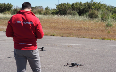
As a drone pilot or operator, one of the most important things to do before each flight is to check where you can and cannot fly the aircraft, checking geographic zones before taking to the skies. Make sure you enjoy your flight or a good day of work with your drone...
Night vision drones | DJI Enterprise
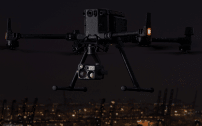
Everything you need to know about night vision drones. Public safety agencies and emergency inspection teams use drones every day to assist them in their missions. These highly mobile aerial cameras can be flown in minutes to cover vast terrain, faster and more...
New DJI Dock 2
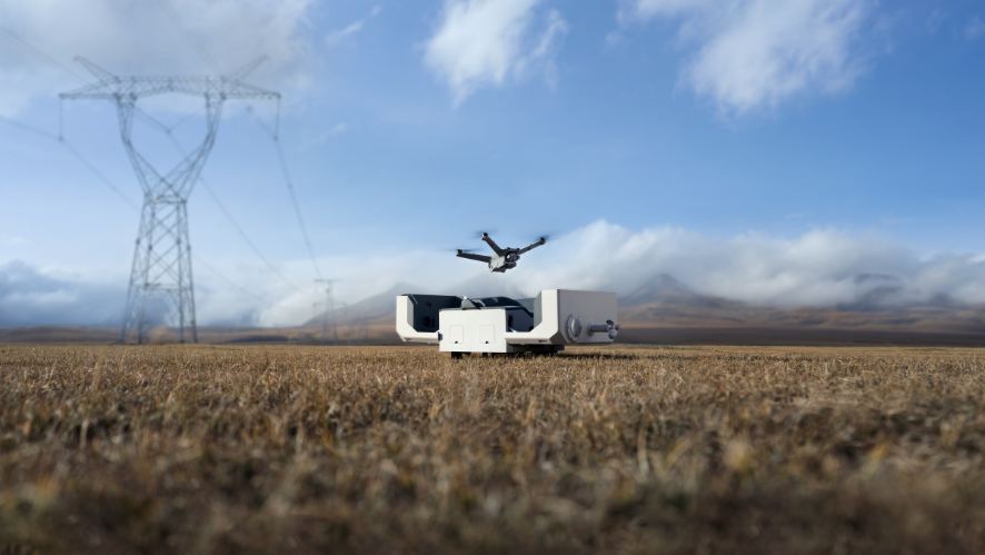
DJI has launched the DJI Dock 2, the DJI Matrice 3D and the Matrice 3DT. The DJI Dock 2 and the DJI Matrice 3D/T are only available on the Chinese market, according to the DJI website. The new DJI Dock 2 is smaller than the first version of the DJI Dock demonstrated...
HPDRONES Academy
In recent years, there has been a growing demand for drone training and specializations, as well as related topics, among professionals in the field. Acquiring the maximum knowledge is essential for ensuring safety when operating drones, whether for recreational or...
C2 certification – DJI drones
DJI drones with C2 certification generally refer to unmanned aircraft manufactured by DJI that fall into class C2, as defined by aviation regulations. This identification label serves to inform authorities and individuals of the drone's classification, which in turn...
DJI Zenmuse L1 vs. Zenmuse L2 Main differences
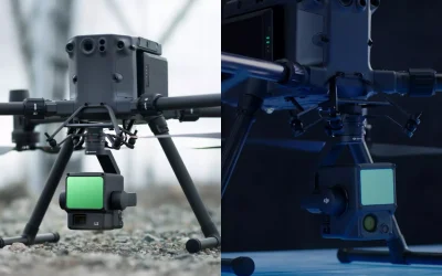
In the year 2023, DJI carried out several product launches and updates. The most recent release was the Zenmuse L2 Sensor, which introduced new features and improvements. In this article, we will analyze and compare the differences between the Zenmuse L1 sensor and...
Nova atualização do Quantum-Systems
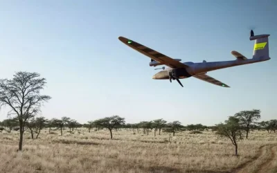
The updates will include new firmware for Trinity F90+, Trinity Pro, QBase 3D, Trinity F90+ PMB and Trinity F90+ Remote ID. Since Trinity Pro and Trinity F90+ are registered with the FAA (Federal Aviation Administration) to comply with U.S. regulations, the current...
DJI Matrice 350 RTK vs DJI Matrice 300 RTK
The DJI Matrice 350 RTK has been designed with improvements over the DJI Matrice 300 RTK. The M350 has gained an advantage with DJI RC Plus. It comes with new TB-65 batteries and many more improvements. What's new DJI RC Plus The Matrice 350 RTK comes with DJI's RC...
DJI Dock – live flight controls, FlyTo tasks and much more
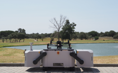
A major update to the innovative DJI Dock. Take it up a level with these features. The DJI Dock has received a significant update with new features that improve its flexibility and functionality. The new update includes Live Flight Controls, which allows users...
Operating drones – Everything you need to know.
The importance of certification to fly drones: Ensuring safety and accountability. In recent years, the use of drones has been increasing in various fields, from aerial photography to infrastructure inspection and law enforcement. This growing popularity has...

