


")
")
")
")
")
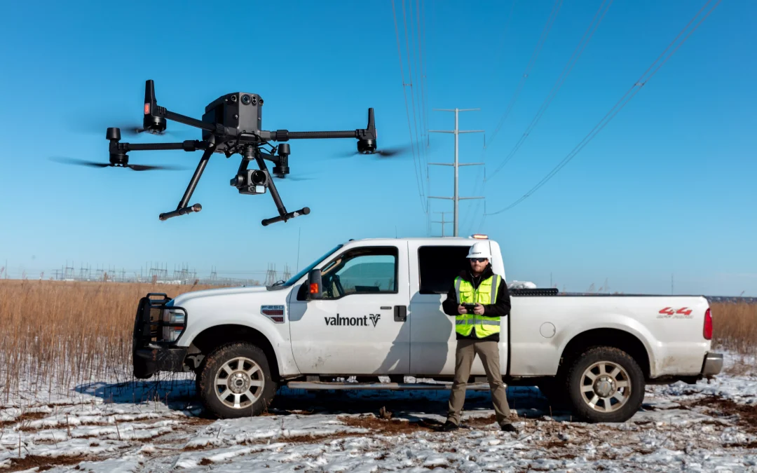
Drones have made great strides in construction as the technology has become more common and accessible. Drone overflights can periodically keep all stakeholders aware of the current status of a job. Drones can also provide aerial photos showing where assets are located and helping teams guide the work.
Benefits of Drones in the construction field
- Initial site survey and measurements: Ability to assess large construction sites and provide detailed data to architects and contractors before they are on site.
- Construction mapping and modelling: Drone data can be converted into detailed maps and 3D models to assist in project tracking and accurate measurement of distances, surfaces, elevations and volumes.
- Tracking: Access data in real time. Ideal for monitoring progress and spotting potential errors.
- Inspection: Inspect the roofs or facades of buildings and gather information with zoom or thermal cameras.
- Security and maintenance: Drone images can highlight any problems on site. A drone with a thermal camera can detect problems such as a tank overheating, which may go undetected by the naked eye.
- Areas of difficult access: Drones eliminate the need for workers, which improves safety in the workplace.
What is building information modelling (BIM)?
BIM is a system for sharing data about a construction project before, during and after construction. One of the important roles that BIM can play is to act as a single source of true data for a construction project, ensuring that every part of the team knows the initial structure plan, the current state of construction and the projected future of the work.
One of the decisive features of BIM is the use of a 3D model of the structure. BIM software is also a valuable place for stakeholders to make real-time comments and updates on the status of a construction project.
To make maximum use of the solutions, up-to-date figures are needed. So one of the most effective, secure and reliable ways to provide this content is through the use of construction drones.
From HPDRONES we specify some of the main applications of drones in the construction field.
Main applications
- Volumetric calculations: With drones it is possible to capture the entire construction site in a few hours or less, the data serves as a timely and accurate source on volumes. DJI drones are equipped with digital cameras to perform high resolution photo captures, which can be processed in DJI TERRA Software and thus obtain accurate cut/fill volumes, and other necessary analyses.
- Asset monitoring: Drones allow site conditions to be recorded at any time. The high-resolution photographs enable tracking and monitoring of the site and safety of workers. Images can be recorded using DJI TERRA Software and downloaded as a report and shared.
- 3D Modelling: DJI’s 3D modelling solutions feature RTK kinematic technology, which allows drones to create a continuously updated virtual representation (Digital Twins) of the environment. Such a tool proves invaluable for future planning and decision-making. DJI solutions collect real-time positioning data with centimetre accuracy, for absolute precision in image metadata.
- Building Information Modelling (BIM): The drone data can be used to create 3D models with accurate positioning information that can be readily fitted into BIM models to visualise designs. LiDAR inspections ensure that signs are installed correctly by identifying the location of signs that interface with concrete.
- Inspections: The conventional method of inspection requires workers to walk on roofs and/or scaffolding, making the work dangerous. Drones, on the other hand, provide inspectors with high definition images of locations. DJI drones come with the “AI Spot check” feature that is designed to eliminate human error in inspections. Users can mark objects of interest after a demonstration flight and then the drone will use artificial intelligence algorithms to automatically replicate the camera position, angle and framing for future missions.
Minimising Risks
Being able to survey and inspect hard-to-reach locations results in safer and more efficient construction workflows. Structural inspections, which often require teams to implement manual techniques, can be conducted by a drone in a single flight. With high-quality aerial imagery and real-time video transmission, inspectors can assess buildings from the ground without putting themselves in danger. Thermal sensors and intelligence inspection features can detect physical, water or electrical damage even mid-flight.
The best solutions for construction drones:
- Matrice 300 RTK + Zenmuse P1: The complete solution for photogrammetry, perfect for capturing highly detailed 2D and 3D models. DJI’s Zenmuse P1 is a high-resolution RGB sensor, designed for the Matrice 300 RTK drone. Versatile and high performance, it is the best solution for high precision aerial mapping.
– Accuracy to the centimetre
– 45 MP full-frame sensor
– Automated inspections
- Matrice 300 RTK + Zenmuse L1: DJI’s first LiDAR solution for aerial surveying, the M300 RTK + L1 can perform centimeter-accurate reconstructions thanks to its high-precision IMU, a vision sensor for positioning accuracy, and the incorporation of GNSS data.
– All-in-one solution: integrates a Lidar module, an RGB camera and a high-precision IMU.
– High-density point cloud: 240,000 effective points/s.
– Multiple returns: Supports three returns – 3 echoes (double and triple returns to increase the point cloud density up to 480,000 pts/sec).
- DJI Mavic 3 Enterprise: Lightweight, affordable and equipped with an accurate RTK module, this drone can gather all the information a contractor needs to keep a construction job on track. The Mavic 3E takes mapping and mission efficiency to new heights
- TERRA Software: A complete drone mapping solution designed to harness the full potential of DJI drones, Terra enables everything from mission planning and data acquisition to area mapping and data analysis, all in the same intuitively designed interface.
In short, a drone when applied in construction contributes multifaceted data. Proving that the solutions are useful throughout the duration of construction, be it monitoring, cost reduction, safety improvement and labour reduction. The HPDRONES expert team will be happy to help you find the best solution.
