


")
")
")
")
")
In the year 2023, DJI carried out several product launches and updates. The most recent release was the Zenmuse L2 Sensor, which introduced new features and improvements. In this article, we will analyze and compare the differences between the Zenmuse L1 sensor and the Zenmuse L2 to assist you in choosing the most suitable option for your work.
ZENMUSE L1
The Zenmuse L1 is equipped with a LiDAR sensor and an RGB camera. It integrates a Livox sensor, a high-precision IMU, and a 1-inch 20MP mechanical shutter CMOS visual camera. This sensor is designed to be used with the DJI Matrice 300 RTK and DJI Terra software.
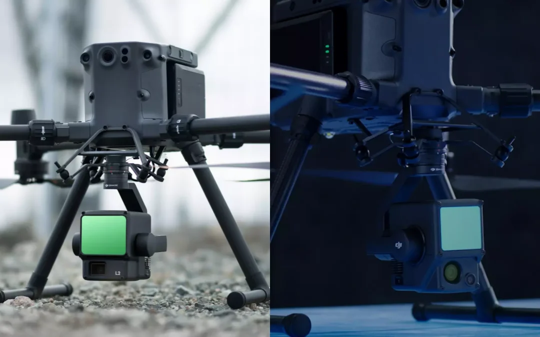
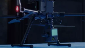
On the other hand, the Zenmuse L2, also featuring a LiDAR sensor, combines a high-precision IMU with a 4/3-inch RGB CMOS camera. When used with DJI Terra Software, it can capture 3D data and perform high-precision processing. Unlike the Zenmuse L1, it has a greater ability to scan complex targets at longer distances and generate point clouds more rapidly.
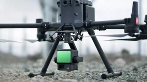
ZENMUSE L2
| Zenmuse L1 | Zenmuse L2 | |
| Accuracy | Vertical accuracy 5 cm
Horizontal accuracy 10 cm (The relative altitude of the mission is 50 m and the flight speed is 10 m/s) |
Vertical accuracy 4 cm
Horizontal accuracy 5 cm (The relative altitude of the mission is 150 m and the flight speed is 15 m/s |
| Efficiency | The operational area of a single mission can be up to 2 km2 | The operational area of a single mission can reach 2.5 km2 |
| Returns | Supports 3 returns | Supports 5 returns |
| IMU | Warm up for 5-10 minutes before take-off | Warm up for 5-10 minutes before take-off |
| Real-time visualisationl | Displays and measures point clouds in real time | It offers three visualisation modes (RGB, point cloud and parallel/RGB point cloud) in real time. |
Relevant differences
Accuracy: The L1 sensor offers a vertical accuracy of 5 cm and a horizontal accuracy of 10 cm, while the Zenmuse L2 provides improved vertical accuracy of 4 cm and 5 cm horizontally. In this aspect, the Zenmuse L2 stands out as the better choice. Regarding efficiency, the L2 also excels, covering 2.5 km² in a single flight, which is 0.5 km² more than its predecessor in a single mission.
Range and Penetration: One of the most prominent differences between the two sensors lies in their range and penetration capabilities. The L2 can reach and detect targets at greater distances, making it an excellent choice for scanning distant and dense objects or vegetation.
DJI Terra: The free version of DJI Terra supports L2 data processing, including pre-processing and other point cloud application functions. You no longer need to pay extra for Terra, as there are no longer software update fees. Future updates and new point cloud functions will be permanently free.
IMU: The L2’s inertial navigation system does not require preheating, increasing effective operation time, unlike the L1, which requires a 5-10 minute warm-up before takeoff. The high-precision IMU can fuse data and post-process with the aircraft’s RTK positioning system to provide the L2 with more accurate information about absolute position, speed, and attitude. The IMU’s enhanced environmental adaptability helps the L2 collect more reliable high-precision point cloud data.
Price: Price differences between the sensors can also be significant. The Zenmuse L2 sensor, with its enhanced accuracy and capabilities, comes at a higher price compared to the Zenmuse L1.
Learn more about each of these sensors:
___________________________________________________________________________________________________________________________________________
