


")
")
")
")
")
Drones are continually proving to be powerful commercial tools, while providing users with leaps in efficiency and safety. The surveying and mapping industry is no exception.
Drones have been successfully integrated into surveying workflows to perform land surveys, photogrammetry, 3D mapping, land surveying and more.
What is a drone survey?
Surveying is the precise science of determining the positions and distances between points in 2D and 3D space. There is a big difference between aerial photography and surveying.
Surveys provide critical information that enables informed decision-making, from construction site planning to infrastructure design and maintenance, delineating cadastral property boundaries and more. A drone survey is simply a survey conducted from above using a drone.
Advantage in using drones for surveying compared to traditional methods?
Unmanned Aerial Vehicles, or UAVs, are excellent at quickly acquiring data inaccessible to the human eye. When surveying challenging terrain, drones make it unnecessary for operators to physically access and measure points in dangerous or hard-to-reach locations.
In addition, while traditional surveying methods require meticulous measurement, preparation and planning, drones can capture comparable data in dramatically shorter timeframes.
How do drones effectively improve your work?
As drone technology is becoming increasingly streamlined and accessible, a variety of industries are adopting this technology into their workflows to dramatically increase efficiency. Simply put, drones are changing the way businesses operate by reducing costs, saving time, improving safety and providing a direct ROI.
In particular, surveying and mapping have been revolutionised by drone solutions. While traditional surveying methods can produce results on the scale of days or weeks, drones can do the job on a time scale of hours.
Depending on your project and client requirements, these are the best drones for surveying and mapping:
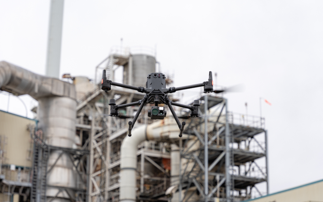
Matrice 300 RTK + P1 and Matrice 350 RTK + P1
DJI’s Zenmuse P1 is a research gimbal, designed for the Matrice 300 RTK and Matrice 350 RTK drone. The P1 features a high-sensitivity, low-noise full-frame sensor, global mechanical shutter and TimeSync 2.0 system. It allows you to collect geographic information of large areas in real time using DJI Terra software. Create 2D, 3D models and detailed reconstructions thanks to the integrated 3-axis gimbal.
Matrice 300 RTK + L1 and Matrice 350 RTK + L1
The Matrice 300 RTK and Matrice 350 RTK are advanced drones for surveying and mapping. It has the ability to capture images and data in superior quality. These aircraft are equipped with a variety of sensors and cameras. The DJI Zenmuse L1 sensor is a gimbal with LiDAR sensor. Simple integration with the Matrice 300 RTK and Matrice 350 RTK drone makes operation incredibly fast. The fully integrated Livox sensor and RGB camera provide point cloud data with real-time colour reproduction. An essential tool for topographic mapping thanks to its ability to create highly accurate Digital Surface Models (DSM) and Digital Elevation Models (DEM).
The DJI Mavic 3 Enterprise is equipped with a 20MP wide-angle camera with 4/3 CMOS and a tele camera to provide powerful imaging capability. Complete mapping missions with extraordinary efficiency without the need for ground control points. It features a 56x maximum hybrid zoom for viewing essential details from a distance.
It combines an RGB camera with a multispectral camera to scan and analyse crop growth with total clarity. Managing agricultural production requires precision and data, and the Mavic 3M offers both. The Mavic 3M enables aerial inspection of orchard tracking, even on sloping landscapes. Together with DJI Terra or DJI SmartFarm Platform it can reconstruct multispectral maps (NDVI, NDRE, OSAVI, LCI, etc) of orchards in high resolution, automatically identify the number of trees, distinguish trees from other obstacles or objects, and generate three-dimensional operation routes.
What kind of results can you get from drone surveying?
- 2D Orthomosaic
- 3D Models
- Digital Surface Model (DSM)
- Digital Terrain Model (DTM)
- Level Curves
- Volume Measurements and Calculations
- Heat Map
- LiDAR Point Cloud
- Multispectral Map (NDVI, NDRE, OSAVI, LCI, etc.)
In short, drones for mapping provide the necessary precision and in an effective way. HPDRONES is ready to offer customers the best data collection solutions to help make decisions quickly and obtain valuable results. Get in touch with us!
________________________________________________________________________________________________________________________________________________
