
")


")
")
")
")
")
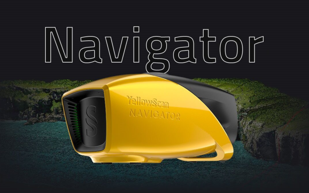
Learn more about YellowScan’s new LiDAR solution. The YellowScan Navigator!
The YellowScan Navigator bathymetric LiDAR is an innovative solution for exploring underwater and terrestrial topography with one-button operation. Its lightweight design allows versatile platform selection without compromising water penetration.
What are its main features and specifications?
The YellowScan Laser Scanner incorporates advanced laser scanning technology, complemented by the Quanta Micro SBG IMU Solution. With an AGL altitude capability of up to 100 meters (330 feet), the system offers remarkable accuracy of 3 centimeters (1.2″). In addition, its efficient design maintains a light weight of 3.7 kg (8.2 lbs), excluding the battery. These features make YellowScan a robust and precise tool for applications that require mapping and data collection at various altitudes.
Multi-platform adaptability
This system can be used on multi-rotor UAVs or helicopters. When it comes to drones, GREMSY’s “quick release” accessory allows easy mounting on a wide range of drones.
Simultaneous survey on land and water
The YellowScan bathymetric system is designed to take bathymetric measurements in shallow water and can be quickly deployed on a UAV. This full waveform LiDAR system ensures continuity between underwater points and the surrounding terrain.
Diverse aquatic environments
Intended for aerial use on drones, the system covers various aquatic areas, such as shores, rivers, lakes, estuaries, lagoons and quarries. Navigator is user-friendly and adaptable for a wide range of applications, from hydrographic surveys to underwater resource management.
44° FOV for high precision
With a 44-degree field of view, it prioritizes precision over a wider angle. This decision is based on the fact that 44° is the maximum angle for a green laser to work effectively underwater. Beyond this angle, the laser’s penetration depth in water is significantly affected, limiting the system’s overall performance.
High autonomy for maximum efficiency
Optimize bathymetric survey operations with this LiDAR system, providing 45 minutes of autonomy on a single battery charge for extended underwater data collection in various marine environments.
Innovation in Bathymetric Mapping: Automated Water Surface Detection
YellowScan has developed automated water surface detection. This feature is designed to efficiently identify water boundaries, providing optimized data analysis and contributing significantly to the accuracy of bathymetric mapping.
The main functionality of this feature covers three crucial aspects
Water Surface: Automated water surface detection allows for fast and accurate identification of water body boundaries. This enhanced capability not only saves time, but also eliminates the need for manual intervention, ensuring consistent and reliable results.
Underwater Terrain: In addition to mapping the surface of the water, this software extends its capability to include the detection of underwater terrain. This provides a more comprehensive understanding of the aquatic environment, allowing detailed analysis of the geological and topographical features below the surface.
Surrounding Terrain: Recognizing the importance of context, this software is not limited to water. Automated detection also covers the surrounding terrain, allowing for an integrated and comprehensive analysis of the environment, from the surface of the water to the surrounding areas.
By integrating these capabilities, it provides bathymetric mapping professionals with a powerful tool to efficiently collect data, increase the accuracy of representations and facilitate informed decision-making. Automated water surface detection is more than just an innovation; it is a significant step towards excellence in underwater mapping.
Find out more about YellowScan LiDAR directly on our website. For more questions on this topic, fill in the form below and our experts will answer your questions!
_________________________________________________________________________________________________________________________
[ninja_form id=4]
