DJI ZENMUSE L2
Powerful range, sublime precision.
The Zenmuse L2 combines LiDAR photogrammetry, a highly accurate IMU and a 4/3 CMOS RGB camera, improving the accuracy and efficiency of geospatial data collection on DJI flight platforms. Together with DJI Terra, it offers a comprehensive solution for 3D data capture and high-precision post-processing.
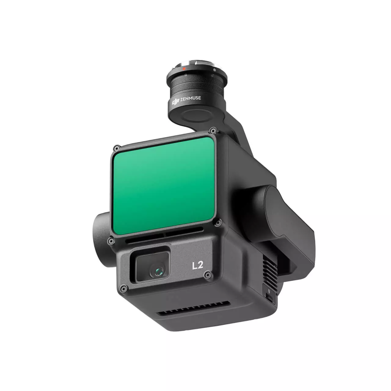

High accuracy: Vertical accuracy: 4 cm | Horizontal accuracy: 5 cm.
Exceptional efficiency: 2.5 km² covered in a single flight.
Superior penetration: Smaller laser dots, denser point clouds.
Detection range: 250 m with 10% reflectivity and 100 klx | 450 m with 50% reflectivity and 0 klx.
Supports 5 returns: In areas of heavy vegetation, the L2 can capture more ground points under the leaves.
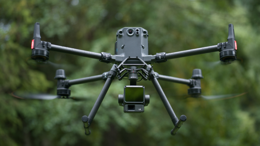
All-in-one, ready to use: In combination with the Matrice 350 RTK and DJI Terra, the L2 offers an easy-to-use all-in-one solution for even more operators to work with.
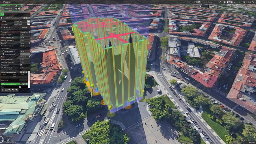
Live view of the point cloud: During operation, DJI Pilot 2 allows three display modes: RGB, point cloud and parallel point cloud/RGB, to present operational results in an intuitive way.
Integrated LiDAR Solution
Thanks to its powerful hardware, the L2 makes it possible to scan complex targets accurately at greater distances and generate point clouds more quickly. During operations, users can preview, replay and process point cloud models in the field, with quality reports generated by DJI Terra, simplifying the process and improving efficiency. This guarantees high-precision point cloud results with a single post-processing step.
Exceptional accuracy: With the combination of GNSS and an in-house developed high-precision IMU, this solution achieves a vertical accuracy of 4 cm and a horizontal accuracy of 5 cm.
Outstanding efficiency: The L2 is ready to operate on power-up and can collect geospatial and RGB data from a 2.5 km² area in a single flight.
Intuitive operation: When used with the Matrice 350 RTK and DJI Terra, the L2 offers an easy-to-use all-in-one solution, allowing more operators to work with it without hassle.
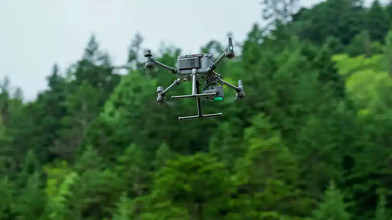
Frame-based design
The frame-based design allows an effective point cloud rate of up to 100 %. Combined with a three-axis stabilizer, it provides greater possibilities for surveying applications.
Two scanning modes
The L2 offers two scanning modes for greater flexibility. The repetitive mode produces uniform and accurate point clouds, ideal for high-precision mapping. The non-repetitive mode allows for deeper penetration to obtain structural details, suitable for power line inspections, forest topography and other specific scenarios.
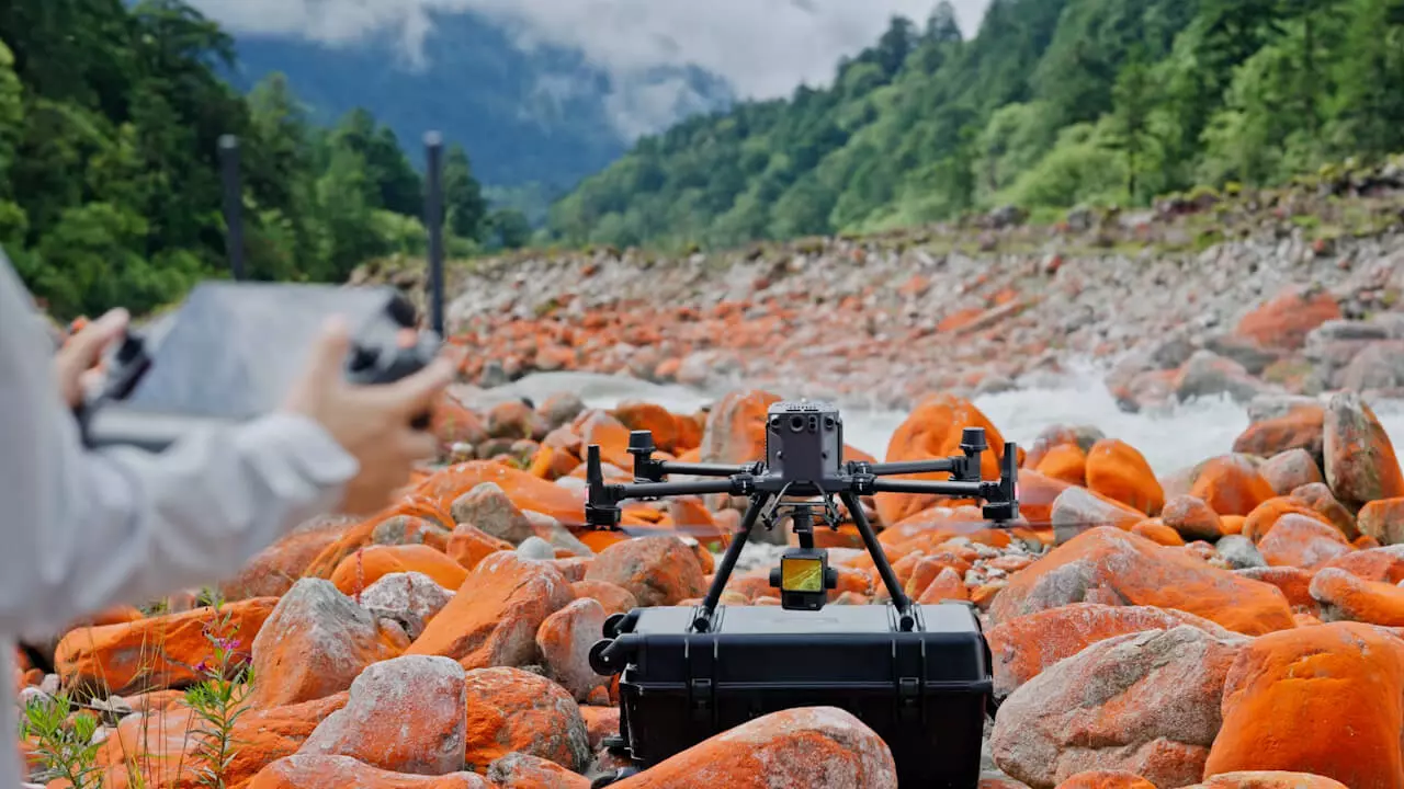
30% increase in detection range
The L2 can detect from 250 m at 10% reflectivity and 100 klx, and from 450 m at 50% reflectivity and 0 klx. The typical operating altitude is now increased to 120 m, which significantly improves operational safety and efficiency.
Smaller laser dots, denser point clouds
The L2, with points reduced to 4×12 cm at a distance of 100 m (one-fifth the size of the L1), not only detects smaller objects in greater detail, but can also penetrate dense vegetation and generate more accurate Digital Elevation Models (DEMs).
Effective rate of point cloud: 240,000 pts./s
In single and multiple return scan modes, the L2 can achieve a point cloud emission rate of 240,000 points per second, allowing more information to be obtained from the point clouds in a given period of time.
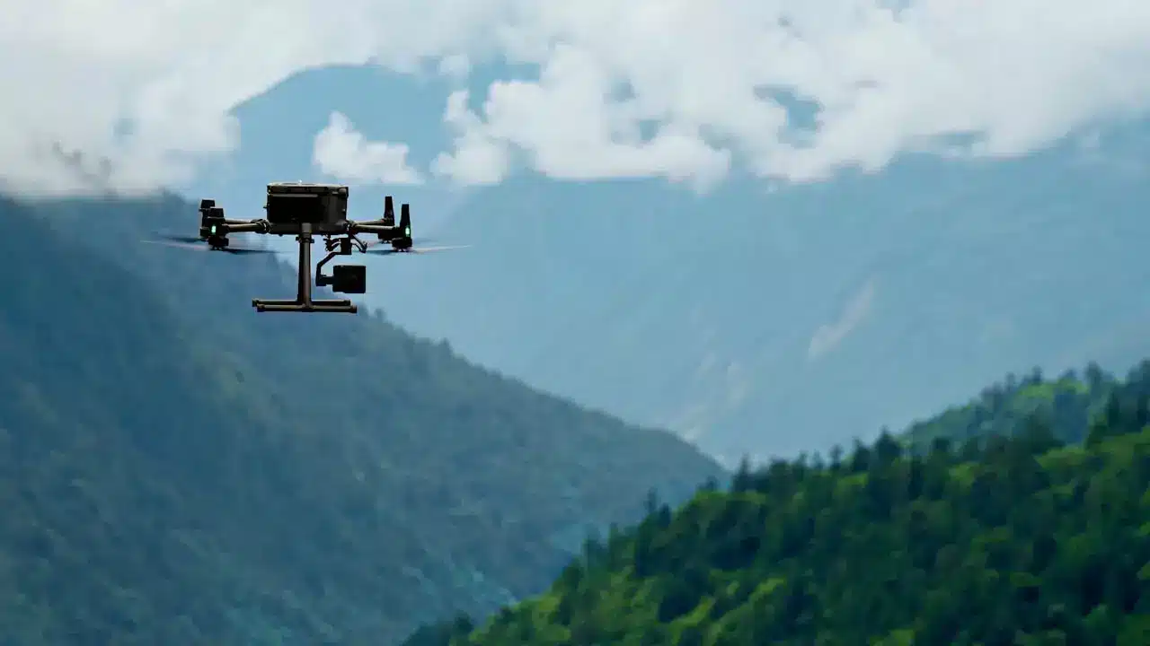
APPLICATIONS
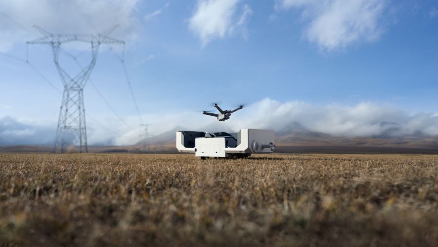
In collaboration with DJI Enterprise flight platforms and DJI Terra software, Zenmuse L2 becomes a versatile tool for terrain surveying and mapping tasks, as well as for managing sectors such as electric power, forestry, infrastructure and various applications in different environments.
Land surveying and mapping – Electric power management – Forestry management – Infrastructure management
IMU System
Improved Accuracy
The high-precision IMU system, developed in-house and combined with the drone’s RTK positioning system for data fusion during post-processing, provides the L2 with highly accurate information on absolute position, velocity and altitude. The improved environmental adaptability of the IMU system increases the reliability and operational accuracy of the L2.
Yaw Accuracy:
- Real Time: 0.2°
- Post-processing: 0.05°
Pitch/Roll Accuracy
- Real Time: 0.05°
- Post-processing: 0.025°
No IMU Heating
The performance of the IMU system has been significantly improved to allow immediate use on power-up. The L2-equipped drone is ready to start tasks as soon as the RTK reaches FIX status, ensuring an optimized field experience.
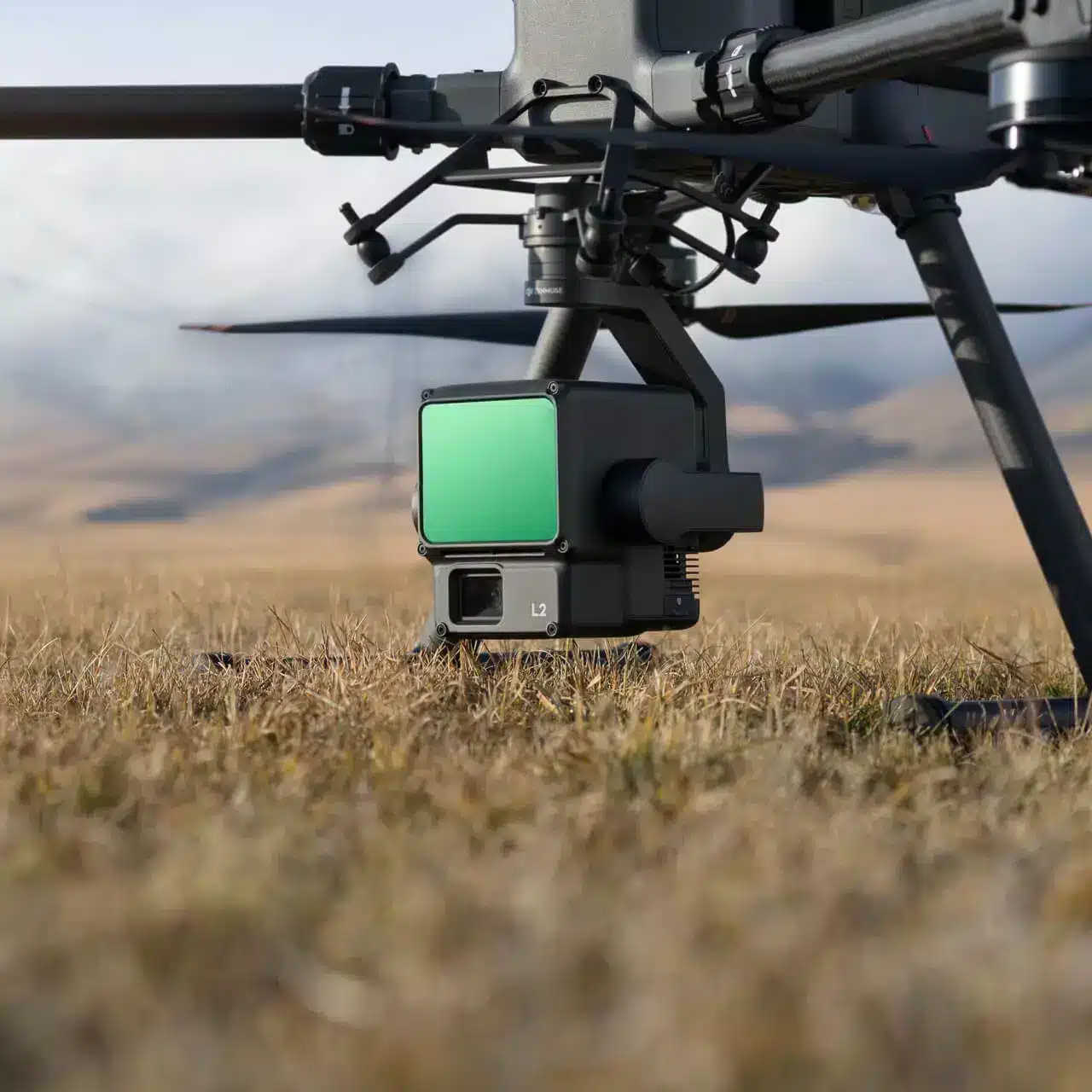
RGB Mapping Camera
With its 4/3 CMOS sensor and mechanical shutter, the mapping camera offers remarkable improvements in image quality. Increased pixel size to 3.3 μm and an effective resolution of 20 MP provide point clouds with more vibrant, true-to-life colors. The minimum interval between photos has been reduced to just 0.7 seconds, speeding up operations. In addition, the mapping camera has a shutter life of up to 200,000 cycles, which reduces operating costs. When point cloud capture is not required, the RGB camera can be used to take photos, record video or collect images for visible light mapping.
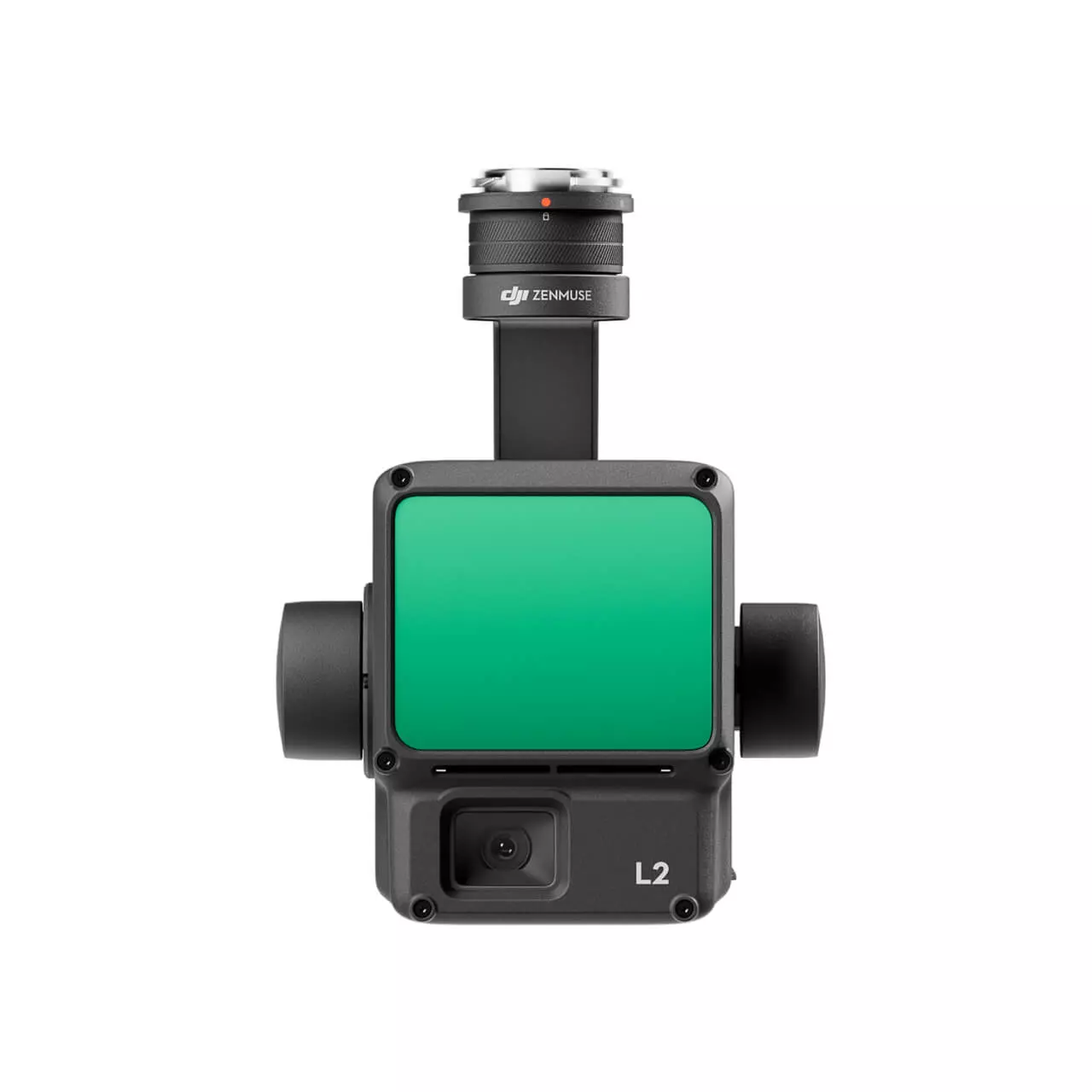
Improved operating experience
Various Types of Flight Routes
The DJI Zenmuse L2 offers support for various types of flight paths, including Trajectory, Area and Linear, accommodating diverse mapping needs in a wide variety of environments.
Live Viewing of Point Clouds
During operation, DJI Pilot 2 enables three real-time display modes – RGB, point cloud and parallel point cloud/RGB – for intuitive presentation of operational results. By activating the RNG laser rangefinder, information about the distance between the LiDAR module and the object in the center of the field of view is obtained, improving flight safety. We also offer four real-time modes for coloring point clouds: Reflectivity, Height, Distance and RGB.
Reproduction and Fusion of Point Cloud Models
After the operation, the 3D point cloud model can be displayed directly in the gallery. We also enable the fusion of 3D models of point clouds from multiple flights to make on-the-ground decisions regarding operational quality.
Automatically Generated Quality Task Reports
Once the point cloud information is obtained, the DJI Pilot 2 application automatically generates a task quality report, allowing operators to verify operational results in real time in the field, providing greater responsiveness and confidence.
PPK Solution
In challenging environments, RTK base stations can be used to prevent RTK data loss. Then, after the operation, the original files are imported into DJI Terra to perform PPK post-processing and generate highly accurate models.
One-Click Processing in DJI Terra
Achieve efficient cloud data processing in DJI Terra with a single click. This allows the generation of a 3D data cloud model in standard format after trajectory calculation and accuracy optimization. In addition, the classification of ground points facilitates the creation of a digital elevation model, and the quality of the point clouds can be analyzed using the Accuracy Check and Review function.
FREQUENT QUESTIONS
Frequent questions about Zenmuse L2
System Performance
What is the protection level of the Zenmuse L2?
The Zenmuse L2 achieves an IP54 rating, in accordance with the IEC60529 standard, under controlled laboratory conditions. To ensure the highest levels of protection:
• Before installation, make sure that the interface and the stabilizer surface are dry;
• Before use, make sure that the stabilizer is firmly installed on the drone and that the SD card protection cover is clean, free of foreign objects and closed;
• Before opening the SD card protection cover, wipe the surface of the drone with a cloth.
Due to normal wear and tear of the device, the level of protection will decrease over time.
What is the field of view (FOV) of the Zenmuse L2 LiDAR?
Non-repetitive scanning: Horizontal: 70°; vertical: 75°.
What is the maximum sensing range of the Zenmuse L2?
250 m at a reflectivity of 10 % and 100 klx
450 m at a reflectivity of 50 % and 0 klx
The recommended operating altitude is 30-150 m.
How many returns does the Zenmuse L2 support?
What is the point cloud rate of the Zenmuse L2?
Multiple returns: max. 1 200 000 pts./s
How many scanning modes does the Zenmuse L2 have? In what scenarios are they used?
In repetitive scanning mode, LiDAR can achieve more uniform and accurate scanning that meets the requirements of high-precision mapping.
In non-repetitive scanning mode, it offers stronger penetration that gathers more structural information, which makes it more suitable for power line inspection, forestry surveying and other scenarios.
What is the IMU accuracy of the Zenmuse L2?
Yaw accuracy: real time: 0.2°, post-processing: 0.05°.
Pitch/rotation accuracy: real time: 0.05°, post-processing: 0.025°.
Horizontal positioning accuracy: 1 cm + 1 ppm (RTK FIX)
Horizontal positioning accuracy: 1.5 cm + 1 ppm (RTK FIX)
Yaw and pitch/roll accuracies were measured under the following conditions in a DJI lab environment: Zenmuse L2 mounted on a Matrice 350 RTK and powered on. Using the DJI Pilot 2 area route to plan the flight path (with Calibrate IMU enabled). RTK in the FIX state. Relative altitude was set at 150 m, flight speed at 15 m/s and stabilizer inclination at -90°; each straight section of the flight path was less than 1500 m long.
What is the L2 RGB camera used for?
What surveying and mapping accuracy does the Zenmuse L2 offer?
Horizontal accuracy: 5 cm
Vertical accuracy: 4 cm
Measured under the following conditions in a DJI lab environment: Zenmuse L2 mounted on a Matrice 350 RTK and powered on. Using the DJI Pilot 2 area route to plan the flight path (with Calibrate IMU enabled). Using repetitive scanning with the RTK in FIX state. Relative altitude was set at 150 m, flight speed at 15 m/s and stabilizer inclination at -90°; each straight section of the flight path was less than 1500 m long. The field contained objects with obvious angular features and used bare checkpoints on hard surfaces, in accordance with the diffuse reflection model. DJI Terra was used to perform post-processing with Optimize Point Cloud Accuracy enabled. Under the same conditions with Optimize point cloud accuracy not activated, the vertical accuracy is 4 cm and the horizontal accuracy is 8 cm.
What is the size of the RGB camera CMOS in the Zenmuse L2? And how big are your pixels?
What are the improvements of the Zenmuse L2 compared to the previous generation?
LiDAR performance has improved to approximately one-fifth of the L1 pixel size when the object or area is within 100 m of the LiDAR. The penetration capability of LiDAR has been significantly increased and both its detection range and accuracy have been improved. The pixel size of the RGB camera has increased by 89 % compared to the 2.4×2.4 μm of the L1. IMU accuracy has improved to 0.05° (real-time) and 0.025° (post-processing). LiDAR is compatible with the laser range finder (RNG).
Field data collection
How efficient is the Zenmuse L2’s surveying and mapping capability?
The Zenmuse L2 can collect data covering an area of up to 2.5 km2 in a single flight.
Measured when the Zenmuse L2 is mounted on the Matrice 350 RTK with a flight speed of 15 m/s, flight altitude of 150 m, lateral overlap rate of 20 %, Calibrate IMU on, Elevation Optimization off and terrain tracking off.
The Zenmuse L2 can be used in multiple scenarios, including topographic inspection and mapping, power line modeling, forest management, topographic measurements, etc.
An SD card with a sequential write speed of 50 MB/s or higher and UHS-I with speed grade 3 or higher; max. capacity: 256 GB.
MicroSDXC Lexar 1066x 64 GB U3 A2 V30
MicroSDXC Lexar 1066x 128 GB U3 A2 V30
MicroSDXC Kingston Canvas Go! Plus 128 GB U3 A2 V30
MicroSDXC Lexar 1066x 256 GB U3 A2 V30
During the collection of original point cloud data, the Zenmuse L2 can generate and display a real-time point cloud model in the DJI Pilot 2 application processed with sparse resolution. Four color modes are supported: reflectivity, height, distance and RGB. When viewing gallery models on the remote control, you can rotate, drag, zoom, quickly change perspective and re-center the view.
Currently, the L2 supports the following flight tasks: Trajectory Route, Area Route and Linear Route.
No heating is required. Once the aircraft’s RTK is in the FIX state, the aircraft can take off and operate.
To ensure the accuracy of the collected data, it is necessary to activate Calibrate IMU. Before executing the flight task, activate Calibrate IMU. Before manual flight, you can press Calibrate before operation to manually activate the calibration. During operation, manually activate the IMU calibration again according to the countdown warning.
The task quality report records the actual duration of the LiDAR, camera and IMU module data. Operators can assess the validity of data collection based on the status of each module.
CLC (camera LiDAR calibration file)
CLI (LiDAR IMU calibration file)
LDR (LiDAR data)
RTK (RTK data from main antenna)
RTL (RTK post compensation data)
RTS (auxiliary antenna RTK data)
RTB (base station RTCM data)
IMU (IMU raw data)
SIG (PPK signature file)
LDRT (point cloud file for application playback)
RPT (point cloud quality report)
RPOS (real time POS solution data)
JPG (photos captured during the flight)
In the RTK FIX state, there is no difference in accuracy between the two.
Yes. Operators can view the current point cloud collection on the point cloud screen in real time, and also quickly preview the 3D model of the point cloud. After completing the operation, you can download and view the 3D point cloud model in the library, and also perform operations such as combining 3D point cloud models from multiple flights.
Operations such as replaying and combining models need to be performed when connecting the aircraft and the Zenmuse L2.
Post-processing
How do you build a highly accurate model with data collected by the Zenmuse L2?
Run DJI Terra and create a new LiDAR point cloud task. Follow the instructions to import the data from the SD card to DJI Terra and complete the corresponding settings. You can then start high-precision modeling.
In DJI Terra, what result formats can be generated with Zenmuse L2 data?
Point cloud formats: PNTS, LAS, PLY, PCD, S3MB.
Path formats: sbet.out, sbet.txt
What new point cloud processing features can the Zenmuse L2 achieve with DJI Terra?
1. Classification of land points;
2. Digital elevation model (DEM) output;
3. A new Accuracy Check and Review feature that is compatible with the local coordinate system to ensure accurate surveying and mapping results;
4. Optimization of the thickness of the point cloud between flight segments, making it thinner and more consistent;
5. More complete point cloud quality report.
How is the reflectivity value interpreted in DJI Terra?
The reflectivity range is from 0 to 255, where 0 to 150 corresponds to a reflectivity of 0 to 100 % under the Lambertian diffuse reflectance and 151 to 255 corresponds to total reflectance.
The reflectance value is associated with multiple factors, such as surface topography of the geographical object, illumination conditions and angle of incidence, and cannot form a strict correspondence with absolute reflectance.
SPECS
Access to technical specifications
GENERAL
Product name
|
Zenmuse L2
|
Dimensions
|
155 × 128 × 176 mm
|
Weight
|
905±05 g
|
Power
|
Typical: 28 W; máx.: 58 W
|
IP protection
|
IP54
|
Compatible aircraft
|
Matrice 300 RTK (requires DJ RCPlus)
|
Storage temperature
|
–20 a 60 °C (de –4 a 140° F)
|
SYSTEM PERFORMANCE
Detection range
|
450 m at a reflectivity of 50 % and 0 klx
|
Frequency of points
|
Single return: max. 240 000 pts./s
Multiple returns: max. 1 200 000 pts./s
|
System accuracy(RMS 1σ)
|
Horizontal: 5 cm a 150 m; Vertical: 4 cm a 150 m
|
Real-time color coding of point cloud colors
|
Reflectivity, altitude, distance, RGB
|
LiDAR
Range accuracy(RMS 1σ)
|
2 cm a 150 m
|
Maximum allowable returns
|
5
|
Scanning modes
|
Non-repetitive scanning pattern, repetitive scanning pattern
|
Field of view
|
Repetitive scanning pattern: horizontal: 70°; vertical: 3°. Non-repetitive scanning pattern: horizontal: 70°; vertical: 75°.
|
Laser safety
|
Class 1 (IEC 60825-1:2014)
|
Minimum detection range |
3m
|
Laser beam divergence |
Horizontal: 0.2 mrad; vertical: 0.6 mrad
|
Laser wavelength |
905 nm
|
Laser spot size |
Horizontal: 4 cm; vertical: 12 cm; a 100 m (FWHM)
|
Laser pulse emission frequency |
240 kHz
|
Accessible emission limit (AEL) |
233.59 nJ
|
Reference opening |
Effective aperture: 23.85 mm (circular equivalent)
|
Maximum power of laser pulse emission in 5 nanoseconds |
46.718 W
|
INERTIAL NAVIGATION SYSTEM
IMU update frequency
|
200 Hz
|
Accelerometer range
|
±6 g
|
Angular velocity meter range
|
±300 dps
|
Yaw accuracy (RMS 1σ)
|
Real time: 0.3°, post-processing: 0.15°.
|
Yaw accuracy (RMS 1σ)
|
Real time: 0.2°, post-processing: 0.05°.
|
Tilt/rotation accuracy (RMS 1σ)
|
Real time: 0.05°; post-processing: 0.025°. |
Horizontal positioning accuracy
|
RTK FIX: 1 cm + 1 ppm |
Vertical positioning accuracy
|
RTK FIX: 1.5 cm + 1 ppm |
AUXILIARY POSITIONING VISION SENSOR
Sensor
|
CMOS 4/3; effective pixels: 20 MP
|
Lens
|
FOV: 84°
|
|
Shutter Speed |
Mechanical shutter: 2-1/2000 s Electronic shutter: 2-1/8000 s |
|
Shutter count |
200 000 |
|
Photo size |
5280×3956 (4:3) |
Still photography modes |
Single shot: 20 MP With timer: 20 MP JPEG timer interval: 0.7/1/2/3/5/7/10/15/20/30/60 sec. RAW/JPEG + RAW timer interval: 2/3/5/7/10/15/20/30/60 sec. |
Video codec and resolution |
H.264 4K: 3840×2160 a 30 fps FHD: 1920×1080 a 30 fps |
ISO |
Video: 100-6400 Photo: 100-6400 |
| Video bit rate | 4K: 85 Mb/s FHD: 30 Mb/s |
Supported file systems |
exFAT |
RGB MAPPING CAMERA
Sensor size
|
1 inch
|
Effective pixels
|
20 MP
|
Photo size
|
5472×3078 (16:9); 4864×3648 (4:3); 5472×3648 (3:2)
|
Focal Length
|
8.8 mm / 24 mm (Equivalent)
|
Shutter Speed
|
Mechanical shutter speed: 1/2000-8 s Electronic shutter speed: 1/8000-8 s
|
ISO
|
Video: 100-3200 (Auto), 100-6400 (Manual) Photo: 100-3200 (Auto), 100-12800 (Manual)
|
Aperture Range
|
f/2.8 – f/11
|
Supported file system
|
FAT (≤32 GB); exFAT (>32 GB)
|
Photo format
|
JPEG
|
Video formats
|
MOV, MP4
|
Video Resolution
|
H.264, 4K: 3840×2160 30p
|
Photo format
|
|
Video Format
|
MP4 (MPEG-4 AVC/H.264) |
Gimbal
Stabilized system
|
3 axes (tilt, rotation, pan)
|
Angular vibration range
|
0.01°
|
Support
|
DJI SKYPORT detachable
|
Mechanical Range
|
Inclination: from -143° to +43°; pan: ±105°
|
| Controllable range |
Tilt: from -120° to +30°. |
Operation Modes
|
Follow/Free/Re-center
|
Data Storage
Raw Data Storage
|
Photo/IMU/Point cloud data storage/GNSS/Calibration files
|
|
Point cloud data storage |
Real-time modeling data storage |
Supported microSD Cards:
|
microSD: Sequential write speed of 50 MB/s or higher and UHS-I with a speed grade 3 or higher; max. capacity: 256 GB. Use the recommended microSD cards.
|
Recommended microSD Cards3
|
MicroSDXC Lexar 1066x 64 GB U3 A2 V30
|
Post-processing Software
Supported Software
|
DJI Terra
|
Data Format
|
DJI Terra allows you to export point cloud models in the following formats:
|

