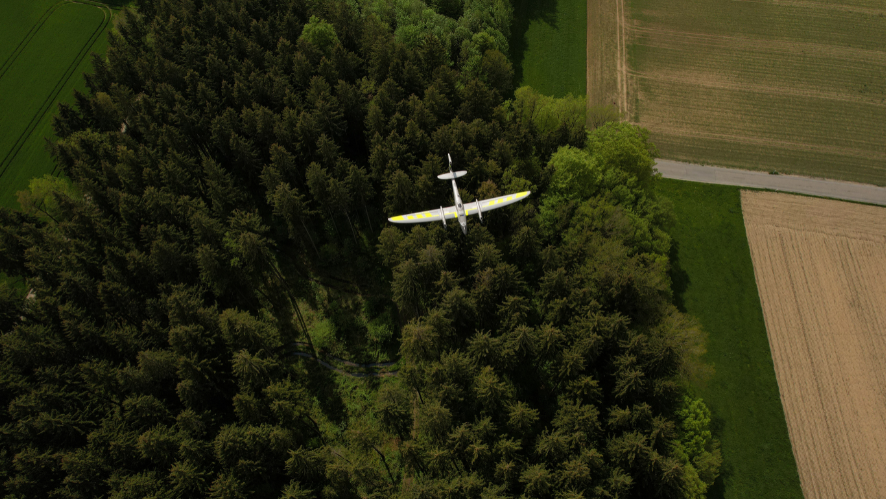
YellowScan Fly&Drive
Fly when you can.
Drive when you must.
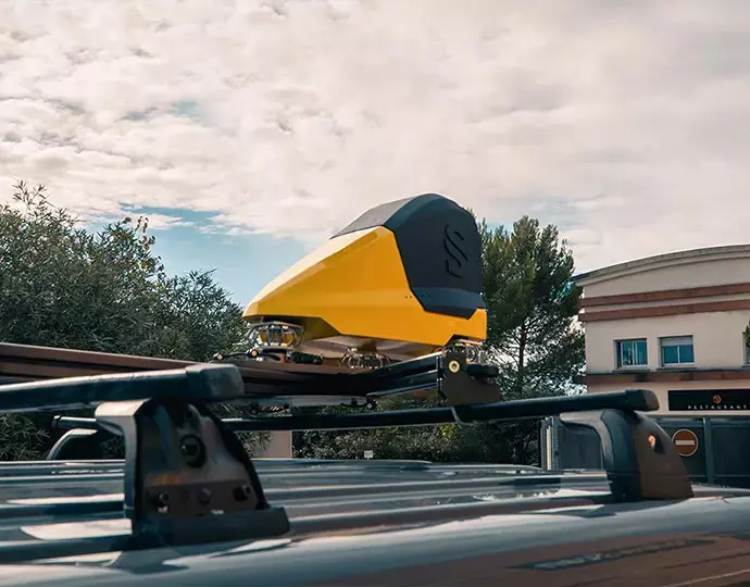
- Multi-purpose mobile (ground) and UAV (airborne) mapping systems
- Precision positioning using high end GNSS and IMU coupled system
- Easy to use, lightweight, and low power consumption
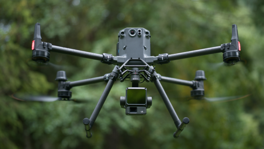
- Installation on any kind of UAVs and vehicles
LiDAR Multifunctional for Geospatial Exploration from Air to Ground
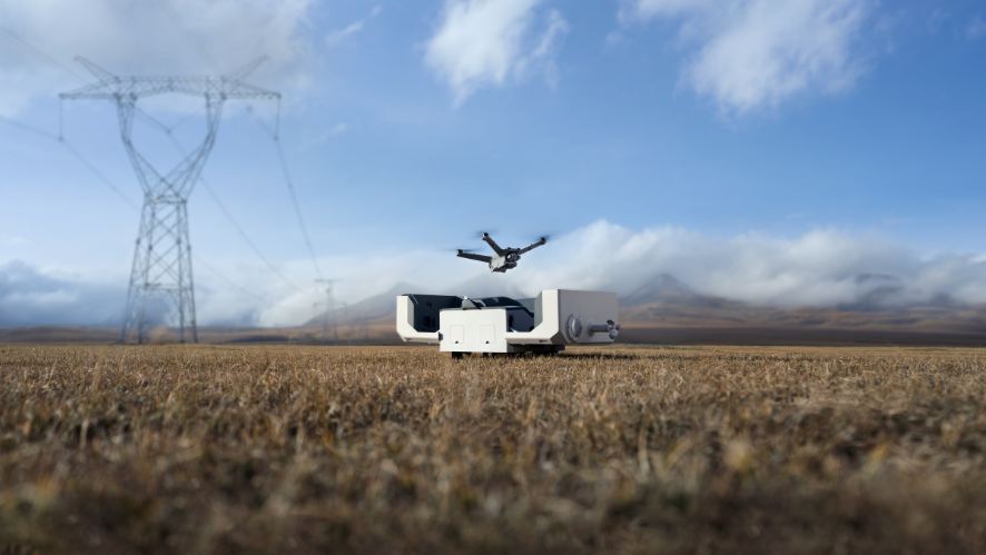
The Fly & Drive is a versatile mobile mapping system mounted on a land vehicle or UAV that combines high-resolution laser scanning and precise positioning to collect georeferenced point clouds.
Key specifications:
- Typ. driving speed: 50km/h (30mph)
- System precision: 3cm (1.2″)
- System accuracy: 2.5cm (1″)
- Max Range: <200m (650ft)
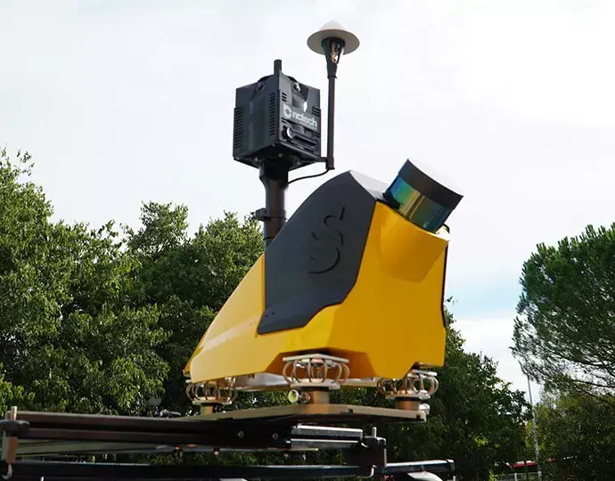
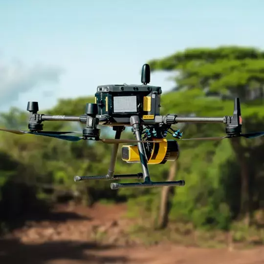
Easy swapping from land vehicle to UAV
The Fly & Drive car capsule can be mounted on most land vehicles. Specially designed bracket allows a quick and trouble-free change from the car pod to any UAV. Thanks to predefined settings, switch from UAV to mobile mapping in 2 clicks.
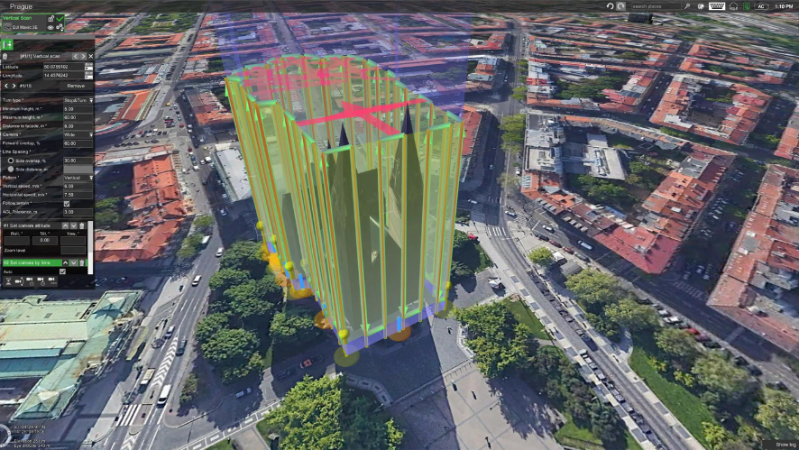
YELLOWSCAN CLOUDSTATION
SPECS
Specifications
| Precision | 3 cm |
| Accuracy | 2.5 cm |
| Typ. driving speed | 25-50 m/s |
| Typ. Typ. flight speed | 10 m/s |
| Max. Max. AGL altitude | 140 m |
| Laser range | Surveyor Ultra: Up to 300 m |
| Laser scanner | Surveyor Ultra: Hesai XT32M2X |
| GNSS-Inertial solution | Surveyor Ultra: SBG Quanta Micro |
| Scanner field-of-view | Surveyor Ultra: 360° x 40,3° |
| Echoes per shot | Surveyor Ultra: Up to 3 |
| Shots per second | Surveyor Ultra: Up to 640 000 |
| Scanning frequency | Surveyor Ultra: Up to 20 Hz |
| Weight | Surveyor Ultra: 0.98 kg batt. excl. |
| Size | Surveyor Ultra: L 153 x An 113 x Al 117 mm |
| Autonomy | Surveyor Ultra: 1.2 hour typ. |
| Power consumption | Surveyor Ultra: 20 W |
| Operating temperature | Surveyor Ultra: 20 W |
| In the box |
1 hardshell backpack 3.2 kg |

