Micasense RedEdge-Mx
The multispectral sensor for mapping with agricultural drones. Compact, flexible and powerful.
Micasense RedEdge-MX captures five spectral bands and is one of the most adaptable solutions on the market.
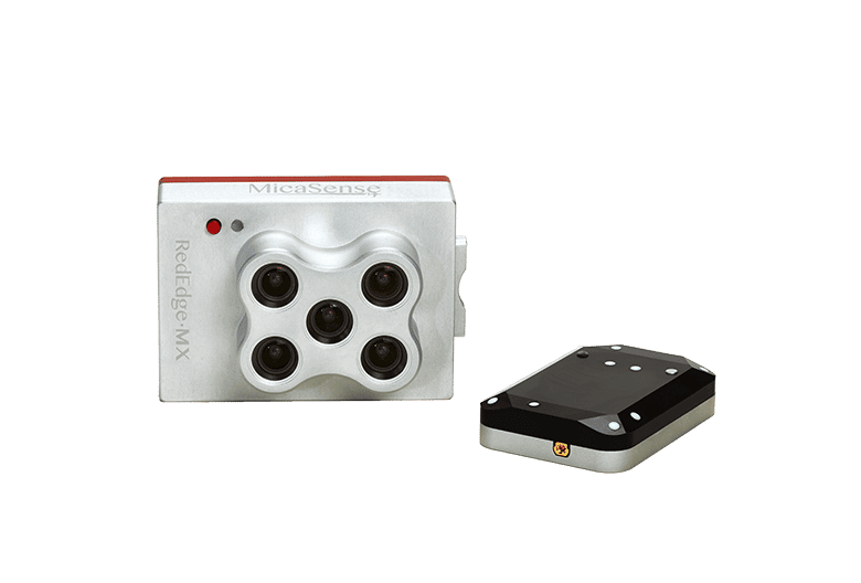

Five narrow, high-resolution spectral bands (8 cm/pixel at 400 feet) captured during one flight. Calibrated for accurate and repeatable measurements.
New aluminium body for improved durability and high temperature performance. Global shutter images: No stand or moving parts needed.
Stand-alone operation.
Compact size allows integration with a wide variety of drones. Full access to raw data; results can be generated using a wide variety of processing and analysis platforms.
Built-in mounting points for easy integration.
THE BEST TOOL FOR YOUR PROJECT
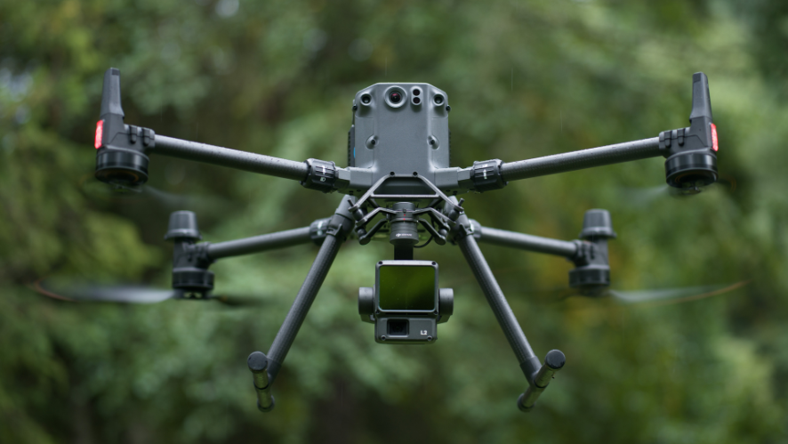
RedEdge-MX has a compact size which is an advantage for use with multi-rotor and fixed-wing platforms.
With a single flight you can generate RGB colour layers, NDVI and an advanced vegetation layer index.
By calibrating the image you can obtain information regarding changes in vegetation.
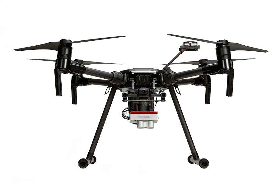
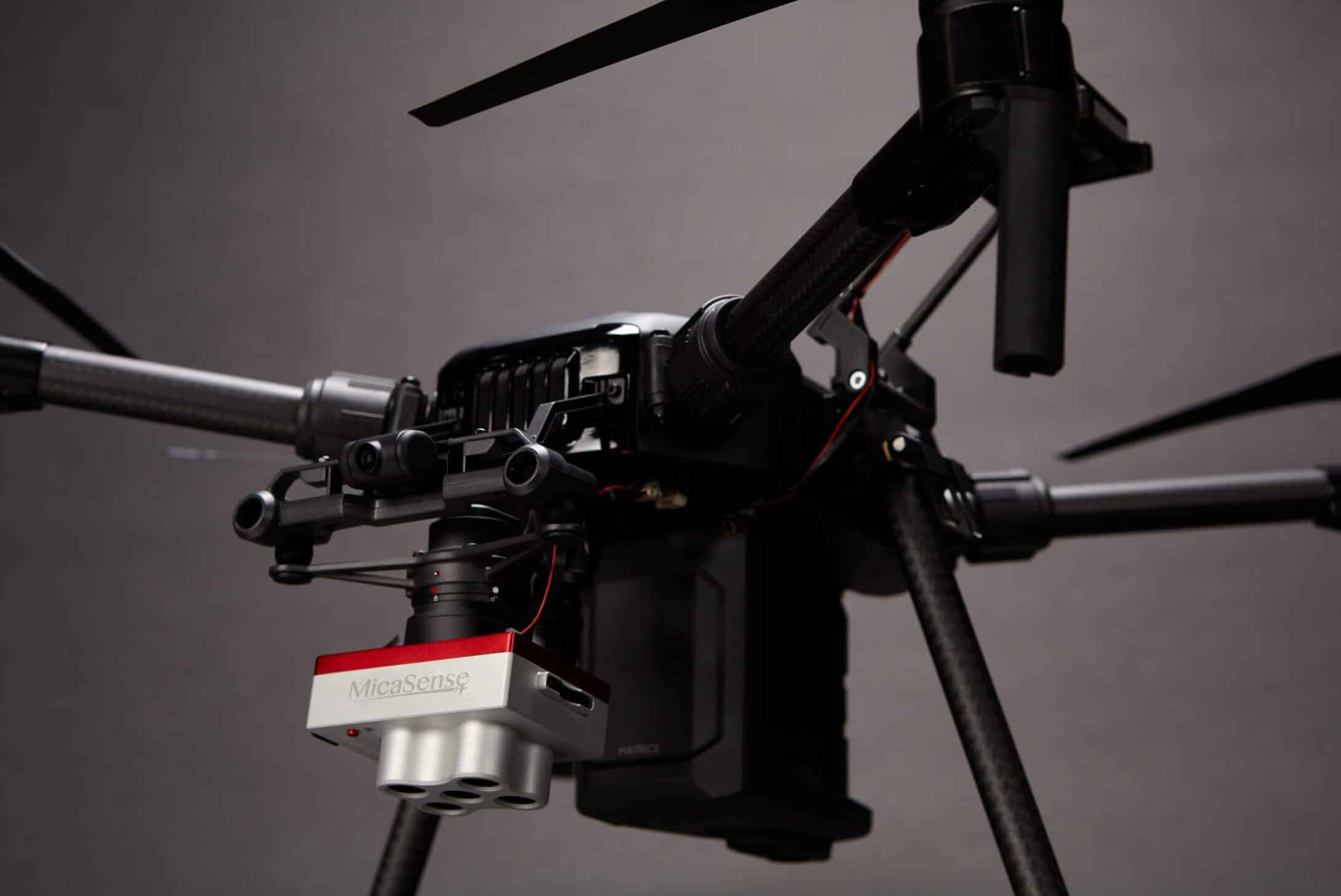
RedEdge-MX is currently one of the most flexible solutions on the market. It has:
RedEdge-MX is currently one of the most flexible solutions on the market. It has:
– Optimised GSD;
– New DLS light sensor 2;
– Ability to generate vegetative indices and RGB images of a flight (colour images):

MAIN ADVANTAGES
- New aluminium body which improves performance at high temperatures and greater durability;
- Compact size that allows integration with a wide variety of drones;
- Calibrated for accurate and repeatable measurements;
- Wide voltage range that helps handle more integrations without using additional power:
- Rugged design with no moving parts;
- Full access to raw data.
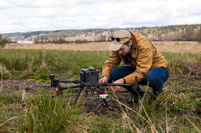
CALIBRATED MULTISPECTRAL IMAGING
RedEdge-MX is one of the most flexible solutions on the market, with optimised GSD (ground sampling distance) resolution, the new DLS 2 light sensor, a global shutter for distortion-free imaging, the ability to generate crop rates and RGB (colour) images from a single flight, and platform-independent data freedom. All this with a compact size and light weight that allows it to be used with a wide variety of unmanned aircraft systems.
Spectral Resolution
MicaSense RedEdge-MX measurements reflected light in five different bands (red, green, blue, costal red and near infrared). The more bands measured, the greater the camera’s sensitivity, which increases the chances of identifying variations in growing conditions.
SPECIFICATIONS
| Weight | 231,9 g (8,18 oz.)
(includes DLS 2 and cables) |
| Dimensions | 8,7 cm x 5,9 cm x 4,54 cm
(3,4 pol. x 2,3 pol. x 1,8 pol.) |
| External power supply | 4,2 VCC – 15,8 VCC
4 W nominal, 8 W peak |
| Spectral ranges | Blue, green, red, near infrared (global shutter, narrow band) |
| Wavelength (nm) | Blue (475 nm central, 20 nm bandwidth)
Green (560 nm central, 20 nm bandwidth) Red (668 nm central, 10 nm bandwidth) Borderline Red (717 nm central, 10 nm bandwidth) Near Infra-Red (840 nm centre, 40 nm bandwidth) |
| RGB color output | Global shutter, aligned with all risers |
| Soil Sample Distance (GSD) | 8 cm per pixel (per band) at 120 m (~400 pés) AGL |
| Capture rate | 1 capture per second (all bands), 12 bit RAW |
| Interfaces | Serial, Ethernet 10/100/1000, removable Wi-Fi, external drive, GPS, SDHC |
| Field of view | 47.2° HFOV |
| Driving options | Timer mode, override mode, external triggering mode (PWM, GPIO, serial and Ethernet options), manual capture mode |


