Today, GPS drones have become a precise tool for certain tasks, such as security, surveillance or precision agriculture, among others. Thanks to their great adaptability and the enormous amount of possibilities offered by photogrammetry, GPS drones provide much more efficiency when it comes not only to accumulating and collecting data, but also to interpreting it.
With the advanced software they have integrated, GPS drones are fully capable of establishing geo-referenced mosaics or different elevation models, among many other maps. This is very useful for certain cases, such as, for example, army work, tasks of the State Security Forces and Corps and activities in the primary sector.
Why use GPS drones? Learn about their main benefits!
GPS drones are used to establish the position of the drone. UAVs collectively settle on a geo-referenced position, which, combined with data from the inertial measurement unit (IMU), provides decisive information to monitor their path.
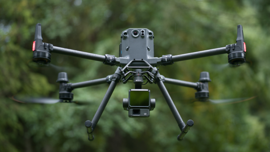
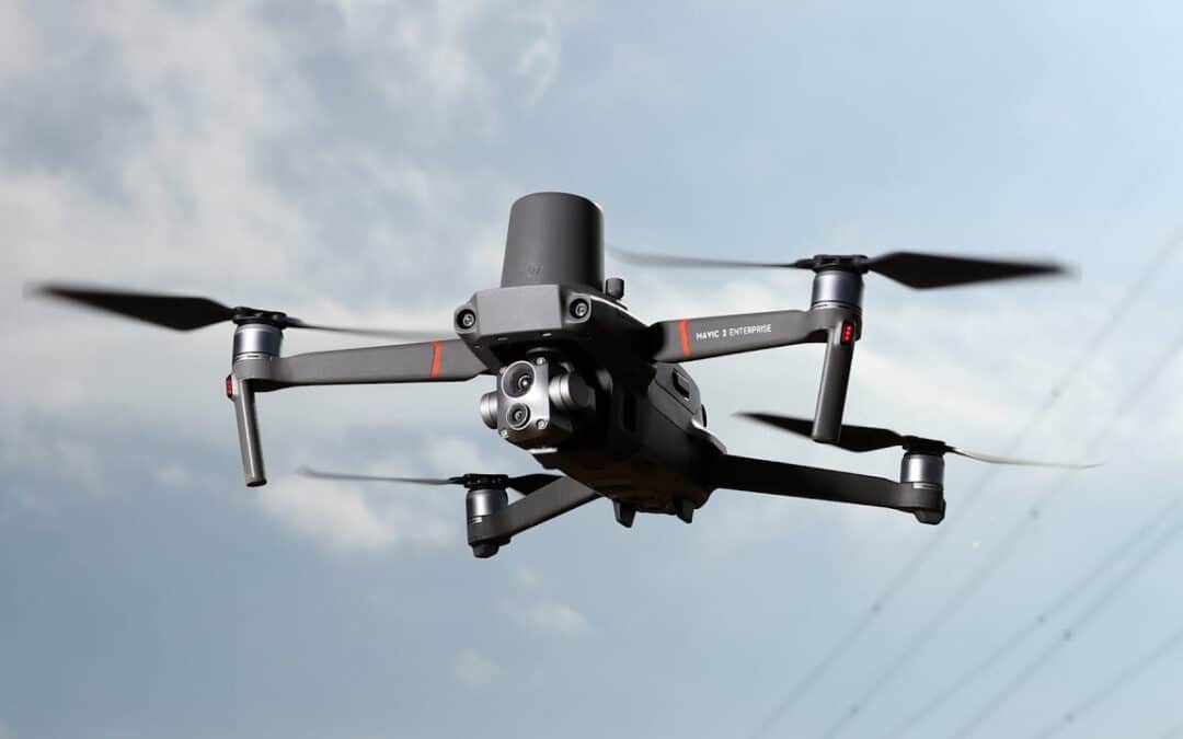
At HPDRONES we have MAVIC 2 ENTERPRISE ADVANCED, a drone perfect for firefighting, search and rescue, inspection of energy facilities and environmental protection, among others. It has advanced and developed technology, wide compatibility and a GPS service that allows you to enjoy greater safety during the journey, as well as the possibility of planning the flight.
The use of drones with GPS has many advantages. Below, we will mention and explain in more depth some of the main reasons why acquiring a GPS UAV is a beneficial situation:
- Knowing the UAV’s position in real time. Thanks to the GPS technology that the drone possesses, it is possible to locate the georeferenced position of the drone at all times, thus avoiding accidents and inconveniences that may arise. Having a drone with GPS tracking will allow you to reach places that human eyes cannot reach.
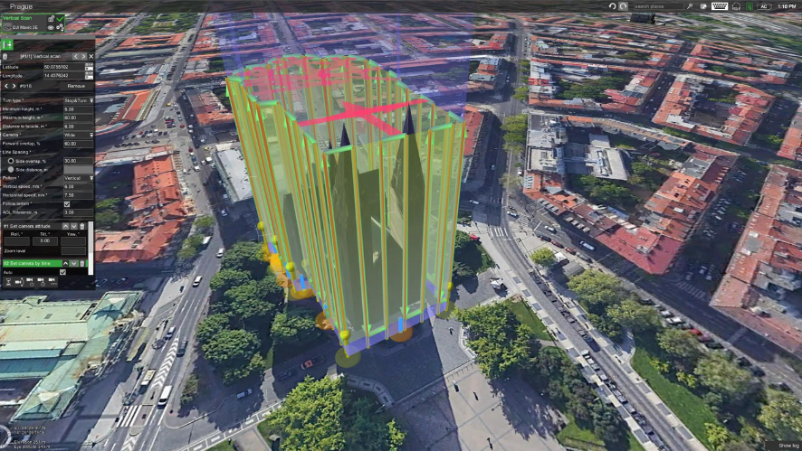
- Carry out routes that have been previously programmed. The GPS function allows the user to program a route before starting the flight. In this way, the drone will follow the route that has been indicated with total independence and autonomy. It will also be possible to control other relevant data, such as altitude or speed.
- Stationary flight. With all the functionality that GPS provides, the drone with GPS can perform a stationary flight, i.e. a static flight. This refers to the ability of the GPS drone to stay in the air without being forced to move in one direction or another.
What are the different uses of a GPS drone?
UAVs with GPS have been a breakthrough for many economic and professional sectors. And the fact is that drones with GPS are not only characterised by the advantages mentioned above, but also by the enormous number of functions that they are able to perform. Below, we will mention and explain in detail some of the most frequently used by users and operators who operate them.
- Search and rescue of missing persons. GPS drones have been specially designed for the search for missing persons. They are of great help to the State Security Forces and Corps, as well as to special operations groups, as their technology offers them a much more detailed view of the area in which the operation is to be carried out. UAVs with GPS facilitate the detection of coordinates, which helps operatives to locate victims. It should be noted that GPS-enabled drones can reach places that human eyes cannot reach. The photographs taken by the UAVs, based on the information collected, provide possible access points, danger points or areas suitable for the arrival of other medical services, such as medical equipment.
- Increased productivity. Thanks to the GPS function, as we have already mentioned, UAVs can plan routes, which is very useful for increasing productivity in the different sectors in which they are applied. For example, this functionality is noticeable in the reduction of working times and costs, among many other things.
- Cargo transport. GPS drones have the ability to plan the routes to be taken at a later date. When transporting cargo, this type of drone can move along the route before the scheduled time and bring the goods to the destination. This leads to savings in activity costs and a reduction in the time it takes to do so.
- Medical services. This type of drone is also really effective for healthcare support systems, as it allows access to places that medical professionals are sometimes unable to reach.
- Fighting forest fires. The UAV with GPS is widely used for forest fires, as its technology allows to know exactly where the source of the fire is.
- Delivery companies. They are widely used in delivery companies. The GPS drone can withstand heavy loads. Normally, they are built on an aluminium chassis that allows them to operate in unfavourable weather conditions, which is also a great advantage.
In short, GPS drones are increasingly used for long-range tasks, which are performed in different sectors: precision agriculture, medical assistance or searching for lost people, among others. Their technology and advanced software make them a tremendously useful tool for carrying out tasks in places where the human eye cannot even reach. Its advantages are innumerable and due to its constant evolution and development, it has become one of the most advantageous tools that exists, both in the professional and personal sphere.
If you have any questions, please contact us! Our professionals will be happy to assist you and advise you throughout the process.

