
")


")
")
")
")
")
Photogrammetry with drones has experienced significant growth in recent years. Thanks to the incorporation of UAVs, it is possible to take photographs with much better resolution and dynamism. For these and many other reasons, drones are a source of advantages for photogrammetry.
What is aerial photogrammetry with drones?
Photogrammetry is a technique whose main objective is to study and precisely define the dimension, shape and position of an object in space. All this data will be obtained from the photographs that a drone with a camera will take once it is flying over the area.
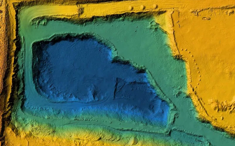
When the UAV takes the snapshots, a cloud of georeferenced points is created in a standard format for subsequent processing, making it possible to create both DTMs (Digital Terrain Models) and DSMs (Digital Surface Models).
While two-dimensional data about the object can be extracted from a photograph, with two images, paying attention to the common area between them, i.e. the area in which they overlap, we can have a stereoscopic or three-dimensional view. At HPDRONES we have, among other brands, DJI drones, which have technologically highly developed cameras so that the capture of images and the corresponding data processing is much simpler, more efficient and faster.
Advantages of photogrammetry with drones
The use of drones greatly facilitates photogrammetry tasks by providing very significant advantages. The following are some of the main benefits of drone photogrammetry.
- Mobile point of view. One of the main advantages of photogrammetry with drones is the mobile point of view, that is, the capacity of the UAV to obtain a mobile view with which to control all the terrain you want.
- Wide range of capture. The cameras that drones have normally allow an enormous amplitude when capturing images, which considerably reduces the photography and viewing time.
- They combine technology and digitalisation. The technology and digitalisation of each and every one of the images that the UAV is capable of taking during its flight has become one of the main advantages for photogrammetry with drones. The fact is that the cameras they have are of high quality and provide fully digitised information, making the activities that form part of photogrammetry much more comfortable, simple and quick.
- Faster. Aerial photogrammetry with drones means that all activities can be carried out much more quickly, either when taking photographs or for the corresponding creation of the cloud from the georeferenced points.
- Efficiency. UAVs not only generate greater speed during all the tasks that make up photogrammetry with drones, but at the same time, they will be of great help in improving the efficiency of the work quite considerably.
What are the main applications of drone photogrammetry?
The use of drones can be applied to many photogrammetry tasks. The most important of these are explained below:
- Surveying. UAVs have been a major breakthrough for drone surveying. The techniques used to measure the dimensions, shapes and positions of targets in space have undergone enormous development. This is generally due to the superimposition of the images captured by drones, which make it possible to capture much more precise plans and maps than before.
- Architecture. Photogrammetry with drones has also reached architecture. Its use has grown a lot in recent years, as this technology is capable of carrying out, among many other things, 3D scans, both indoors and outdoors.
- Agronomy. Like the previous two, the use of drones in agronomy has meant a great advance. UAVs make it possible to take aerial photographs of everything that needs to be photographed.
- Cartography. In terms of cartography, the use of drones and digital photogrammetry software makes the work more versatile and speeds up the processing of photogrammetric data. Thanks to the generation of georeferenced point clouds, it is possible to build orthomosaics and digital models of overlapping surfaces and terrains. All this makes it possible to create 2D or 3D cartography, always depending on the area or analysis to be carried out.
In conclusion with the above, drone photogrammetry provides a wealth of advantages. UAVs represent a breakthrough in all fields, from agriculture and agronomy to cartography and topography, among many others. Thanks to their efficiency, safety and precision, drones have become one of the most widely used technological elements for capturing information related to the dimensions, sizes and positions of objects in space.
At HPDRONES we have a wide range of possibilities from which you can choose the one that best suits your needs. Contact us! Our great team of experts will advise you on the UAV whose characteristics best suit you when it comes to carrying out effective photogrammetry with drones.
