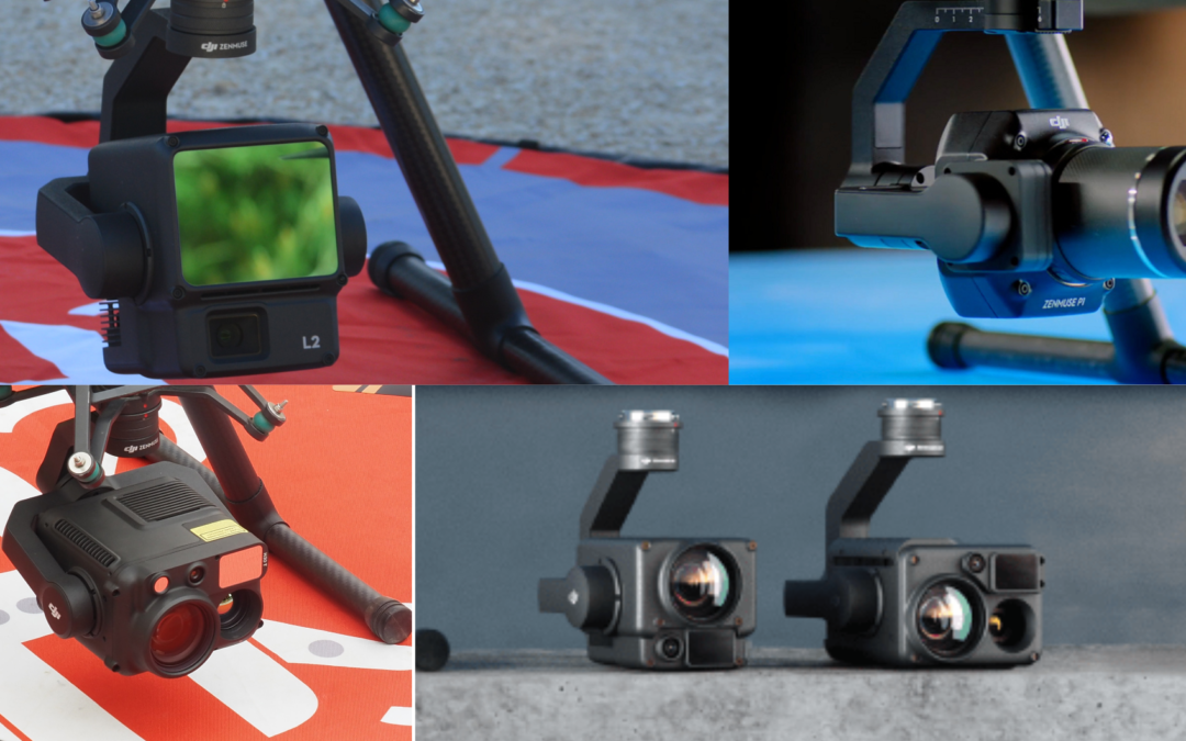
DJI Enterprise offers a range of advanced sensors, such as the H30, L2, H20N and P1 series, which excel in serving different sectors, from agriculture to industrial inspection, with precision and efficiency. We will explore how these sensors are applied in key sectors, highlighting their main functionalities and advantages.
Industrial and construction inspection
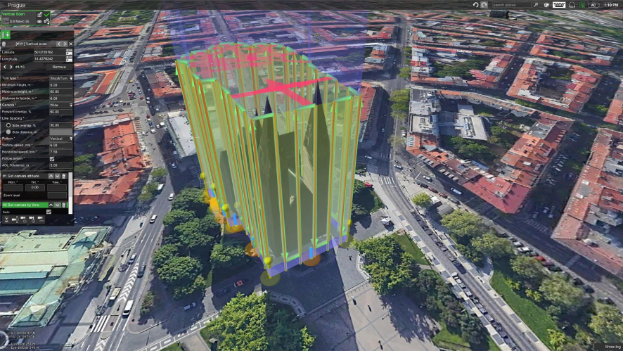
The Zenmuse P 1 stands out because it has been developed for mapping and modeling projects. The Zenmuse P1 is equipped with a 45 MP full-frame sensor and integration with high-precision GNSS systems. The P1 provides fast and accurate data for 3D modeling of large structures, surveying and progress monitoring on construction sites. In addition, its integration with the automated mission planning system (Waypoints 2.0) allows precise control of all phases of the process, optimizing time and resources on large projects.
Zenmuse P1 is a multi-faceted solution that finds applications in various sectors, such as construction, surveying and mapping. In construction and civil engineering, mapping large areas with this technology makes it possible to monitor the progress of construction sites, produce detailed visual reports and plan infrastructures with precision. In urban planning and surveying, P1 is widely used to capture highly accurate geospatial data in both urban and rural areas. In infrastructure inspection, P1 facilitates the creation of 3D models of buildings, bridges and other assets, reducing downtime and operating costs.
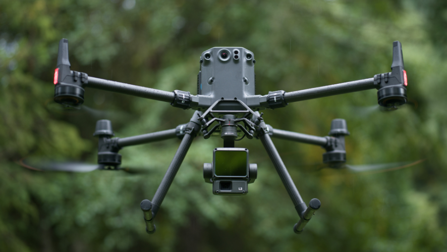
The Zenmuse L2 combines LiDAR photogrammetry, a high-precision IMU and a 4/3 RGB CMOS camera, improving the accuracy and efficiency of geospatial data collection on DJI flight platforms. Together with DJI Terra, it offers a comprehensive solution for 3D data capture and high-precision post-processing.
The L2 makes it possible to accurately digitize complex targets at greater distances and generate point clouds faster. During operations, users can preview, reproduce and process point cloud models on the ground, with quality reports generated by DJI Terra, simplifying the process and improving efficiency. This ensures highly accurate point cloud results with a single post-processing step.
Public safety
In the field of public safety and rescue, the Zenmuse H20N stands out as the ideal choice for low-visibility operations. Equipped with RGB cameras, night vision sensors and thermal imaging, this sensor is crucial for night missions or searches in dangerous areas. Its ability to capture long-range detail with up to 128x hybrid zoom and the integration of different image types offer a complete solution for situations requiring precision and agility.
The latest Zenmuse H30T sensor installed on the Matrice 350 RTK offers advanced thermal capabilities essential for fire departments. The new “Night Scene” mode allows operation in low-light environments, while the rugged IP54-rated equipment ensures efficiency in extreme conditions. These tools are essential for monitoring fires, conducting searches and coordinating operations in real time, saving lives and minimizing damage.
When it comes to missions requiring scene reconstruction, the Zenmuse P1 is the ideal sensor, offering extraordinary accuracy over large areas. This sensor allows detailed mapping of vast regions, covering up to 3 km² in a single flight with centimeter accuracy. Whether for forensic investigations or to analyze damage after a natural disaster, the P1 offers the possibility to generate high-quality 3D models for in-depth studies, as mentioned above.
Its integration with DJI Terra Pro allows for rapid processing of the collected data, ensuring efficiency in the field. This combination of technology and performance enables public safety teams and investigators to obtain a detailed view of incidents, facilitating analysis and critical decision-making in complex situations.
Agriculture
In agriculture, detailed visual analysis of vegetation is essential to monitor crop health and prevent problems that could jeopardize production. The Zenmuse P1 sensor offers an effective solution by capturing high-quality images, enabling early detection of diseases with the help of artificial intelligence. This technology facilitates the monitoring of large agricultural areas, helping farmers to make informed decisions and increase the productivity of their land.
For a more accurate assessment of crop biomass and soil structure, the Zenmuse L2 LiDAR sensor becomes a powerful tool. It provides detailed information on crop volume, growth potential and number of plants, optimizing farming operations. The solution is ideal for farmers looking to improve their land management, with detailed information on yield and crop condition, providing a complete picture of soil conditions and yields.
In various industries, drones have gained notoriety as high-performance tools. When equipped with state-of-the-art sensors, they streamline tasks that, with conventional methods, would take days to complete. Choosing the right sensor is crucial to maximizing your business results. If you have any doubts about which sensor is best suited to your needs, please do not hesitate to contact HPDRONES sales department. We will be happy to help you discover the best solutions available for your industry. Fill out the form and don’t waste time optimizing your workflow with drones equipped with state-of-the-art sensors.
________________________________________________________________

