Reach RX
Pocket-sized RTK rover.
Lightweight, Precise, and Ready to Use
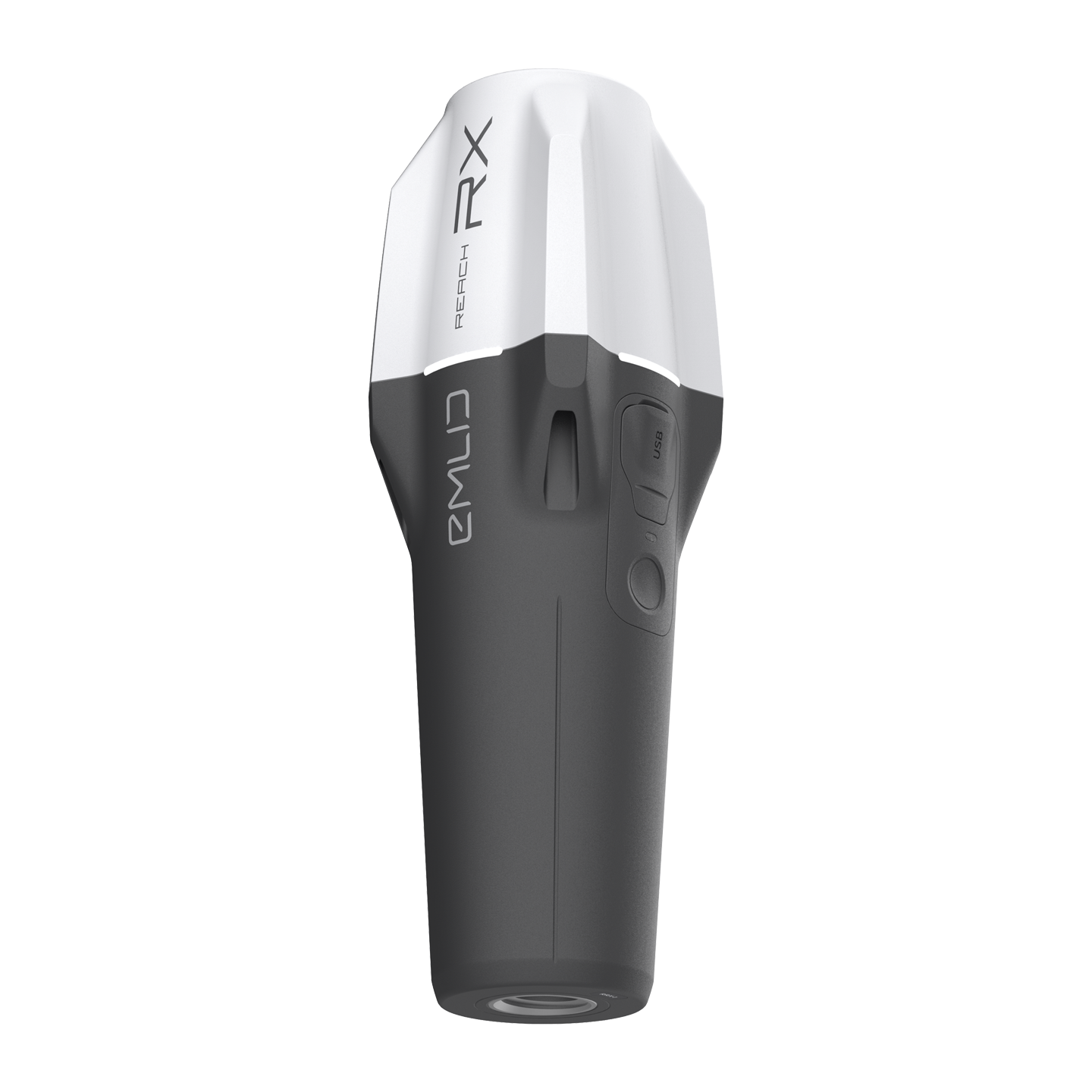
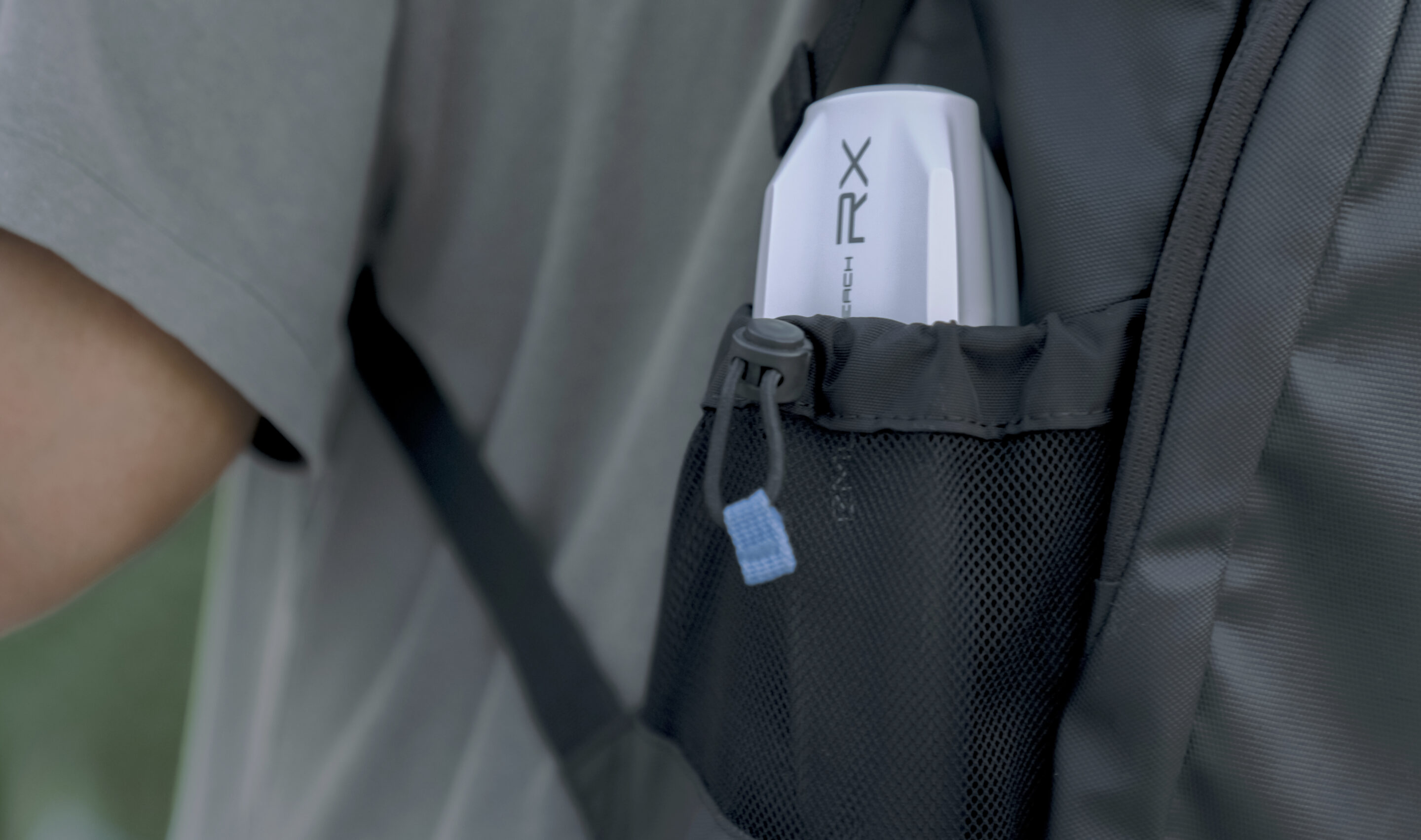
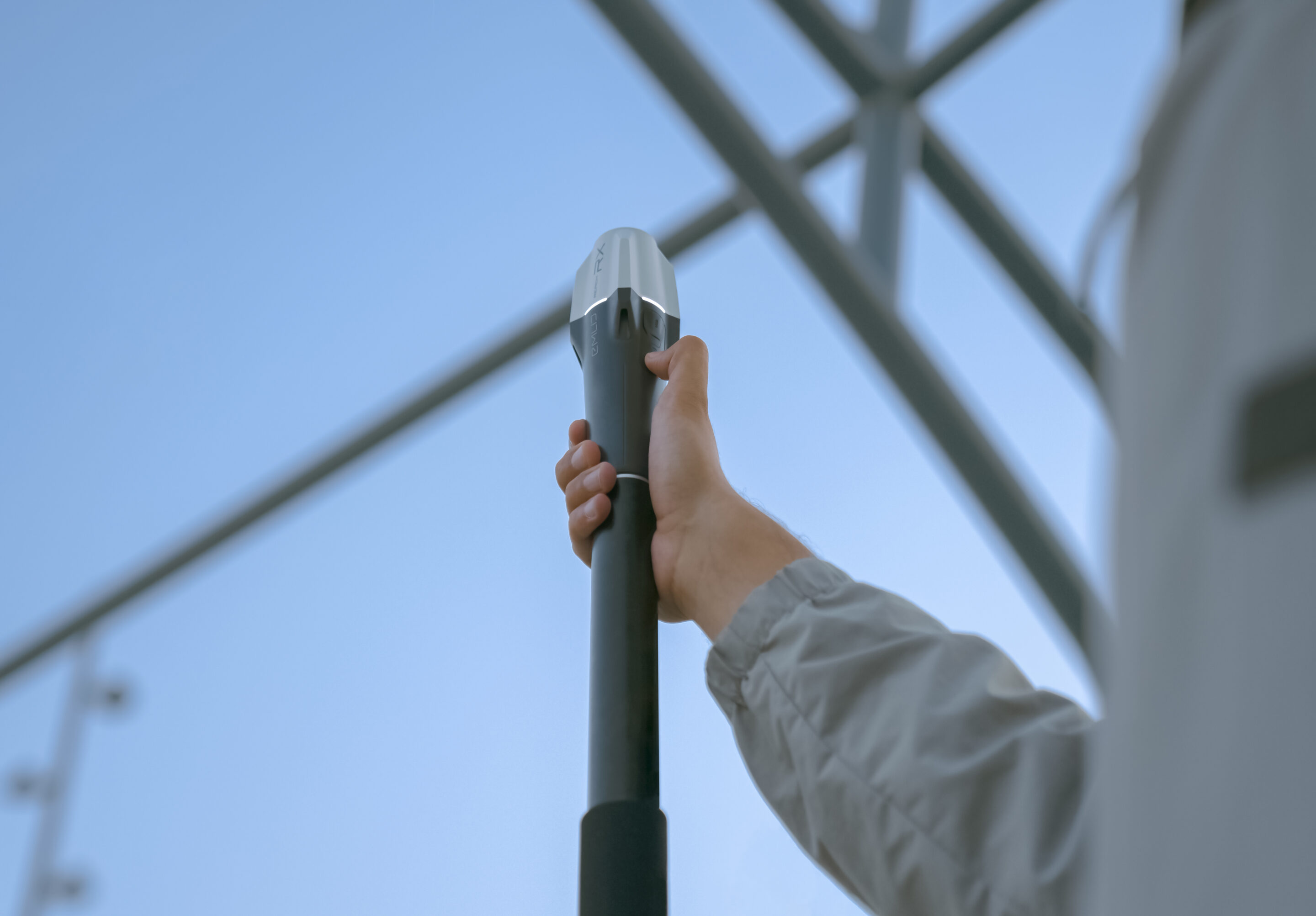
The Emilid Reach RX is an innovative and ultra-light GNSS receiver, weighing only 250 g. Compact yet powerful, it delivers centimetre-accurate data, making it ideal for a wide range of applications in land surveying, mapping, and construction.
Fast e reliable
Supporting multiple GNSS systems, including GPS, QZSS, Galileo, GLONASS, and BeiDou, the Reach RX achieves a fix in less than 5 seconds, ensuring fast and stable positioning in any environment.
Ready for NTRIP
The Reach RX acts as a network rover, receiving corrections from any NTRIP service that supports RTCM3, with no complex configurations required. Just connect and start working, saving time and avoiding configuration errors.
Easy to Use
Designed for both professionals and non-experts, the Reach RX requires no additional training or complex setup, providing an intuitive and efficient solution for data collection.
Rugged and Reliable
The Reach RX is built to withstand harsh conditions, with an IP68 rating that guarantees water and dust resistance. It also operates in extreme temperatures, from -20°C to +65°C, making it suitable for any climate.
Compatible with iOS and Android
A mobile app designed for efficient land surveying.
- Verified coordinate systems library
- Support for SHP, DXF, CSV, and KML files
- Inverse & Traverse functionality
- Survey codes and automatic data collection
- Seamless integration with third-party applications via Bluetooth
Third-Party App Compatibility
Reach RX uses Bluetooth and integrates with surveying apps as a GPS receiver.
- ArcGIS Field Maps
- QField
- MicroSurvey FieldGenius
- Global Mapper
- Mergin Maps
- Avenza Maps

Long Battery Life
With 16 hours of continuous use on a single charge, the Reach RX is perfect for long workdays. It can be fully recharged in less than 3 hours using any USB port or power bank.
Flexible with Your Own Base
If you don’t have access to a nearby NTRIP station, the Reach RX allows you to use your own GNSS base and Emlid Caster to run your own NTRIP service for free. This solution supports any GNSS receiver with RTCM3 compatibility, such as the Reach RS3.
SPECIFICATIONS
Technical specifications
| Category | Specification | Details |
|
Mechanical
|
Dimensions | 172 x 51 x 51 mm (6,77 x 2,00 x 2,00 pol) |
| Mount | 5/8”-11 UNC | |
| Weight | 250 g (8.81 oz) | |
| Operating tº | -20 a +65 ºC (-4 a 149 °F) | |
| Ingress protection | IP68 (maximum depth of 1.5 meters up to 30 minutes) | |
|
Eletrical
|
Autonomy | Up to 16 hrs |
| Battery | Li-Ion 5200 mAh, 3.6V, 18.72 Wh | |
| Charging | USB Type C, 5V 2A | |
| Certification | FCC, CE, IC | |
|
Positioning
|
RTK (Horizontal) | 7 mm + 1 ppm |
| RTK (Vertical) | 14 mm + 1 ppm | |
| Convergence time | ~5 s typically | |
|
Connectivity
|
Communication interface | Bluetooth 4.2 |
| Ports | USB Type C | |
|
Data
|
Input data format | RTCM3 |
| Input data protocol | NTRIP | |
| Position data format | NMEA | |
|
GNSS
|
Signal tracked | GPS/QZSS L1C/A, L2C, GLONASS L1OF, L2OF, BeiDou B1I, B2I, Galileo E1B/C, E5b |
| Number of channels | 184 | |
| Upadate rate | 5 Hz |

