Qube 240
LiDAR Scanner
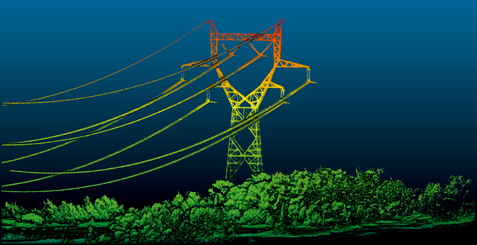
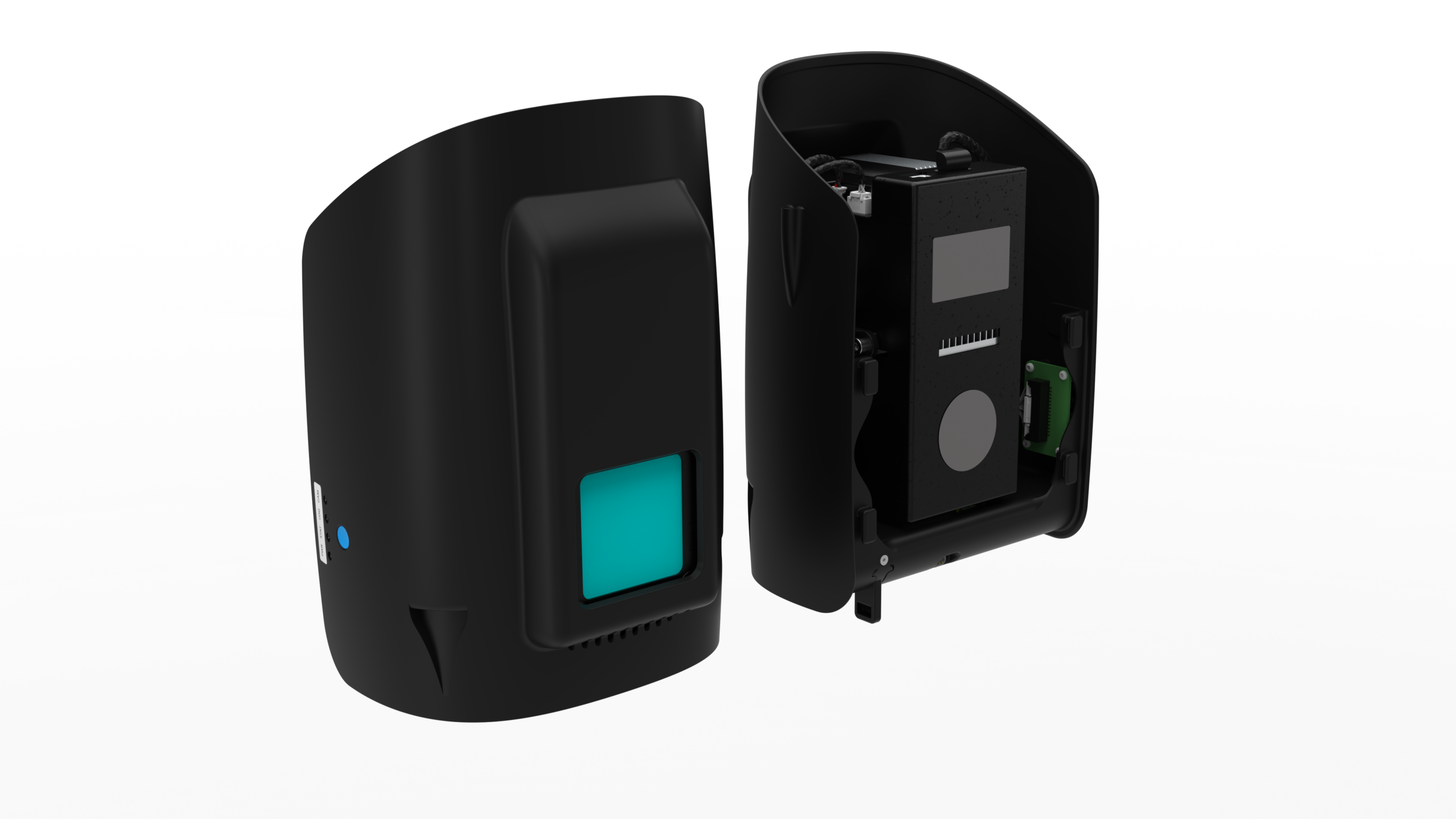
O Qube 240 é um scanner LiDAR de nível geodésico que fornece informações essenciais ao gerar uma nuvem de pontos precisa do ambiente processada através de 240 000 medições de distância por segundo.
O Qube 240 produz imagens com um nível de precisão incomparável, o que é conseguido com a ajuda do sistema de navegação inercial Applanix APX15 integrado. This system generates accurate three-dimensional information from the Earth’s shape and surface features. This information can be used in applications such as calculating stock inventories.
- Class 1 (eye safe).
- Applanix POSPacTM UAV, GNSS and INS software for PPK (one-year license included).
- YellowScan Cloudstation software for generating survey-quality LAS files (license must be purchased separately).
Wavelength – 905 nm
Maximum altitude – 140 m AGL
Suggested altitude – 100 m AGL
Precision – de 1,8 a 2,5 cm*.
Accuracy – < 3 cm**
Scanner field of view – 70
Shots per second – 240.000
Dot density – @100m – 50 -100 points/m²
Multi-Echo Technology – up to 3 echoes per shot
Payload weight – 948,7 g
Flight time – 60 minutes
Sample data
- FLIGHT ALTITUDE – 80 m | 262 ft AGL
- FLIGHT SPEED – 18 m/s
- GSD – 118 pts/sqm
