FJD AT2
AUTO STEER SYSTEM
FJD AT2 Auto Steer System
- 0,1–26 km/h
- Terrain Compensation
- Automatic U-turn
- ISOBUS
- PPP & SBAS
- RTK Accuracy
- GIS Information Transfer
- Broad compatibility
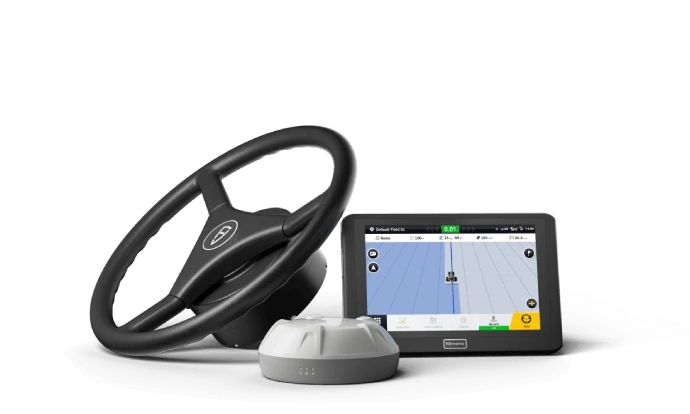
Navigate to the next level of efficiency
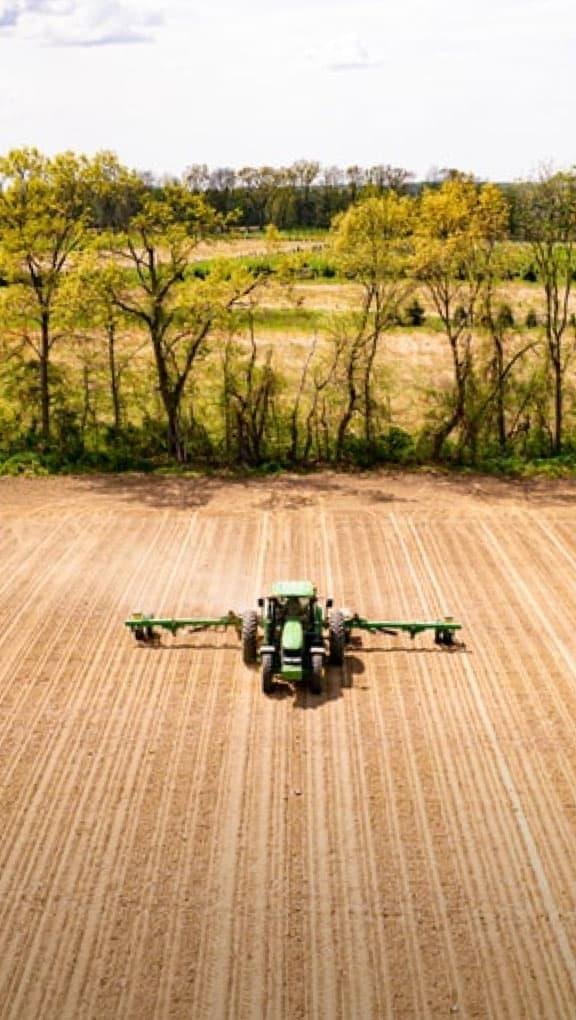
The FJD AT2 automatic steering system combines GNSS and RTK to ensure 2.5 cm accuracy between passes in any terrain. It is compatible with a wide range of versatile agricultural machinery and implements. With this system, you can reduce skips and overlaps, save on input costs, work at night and save your neck from having to look back and forth.
Accurate performance in different scenarios
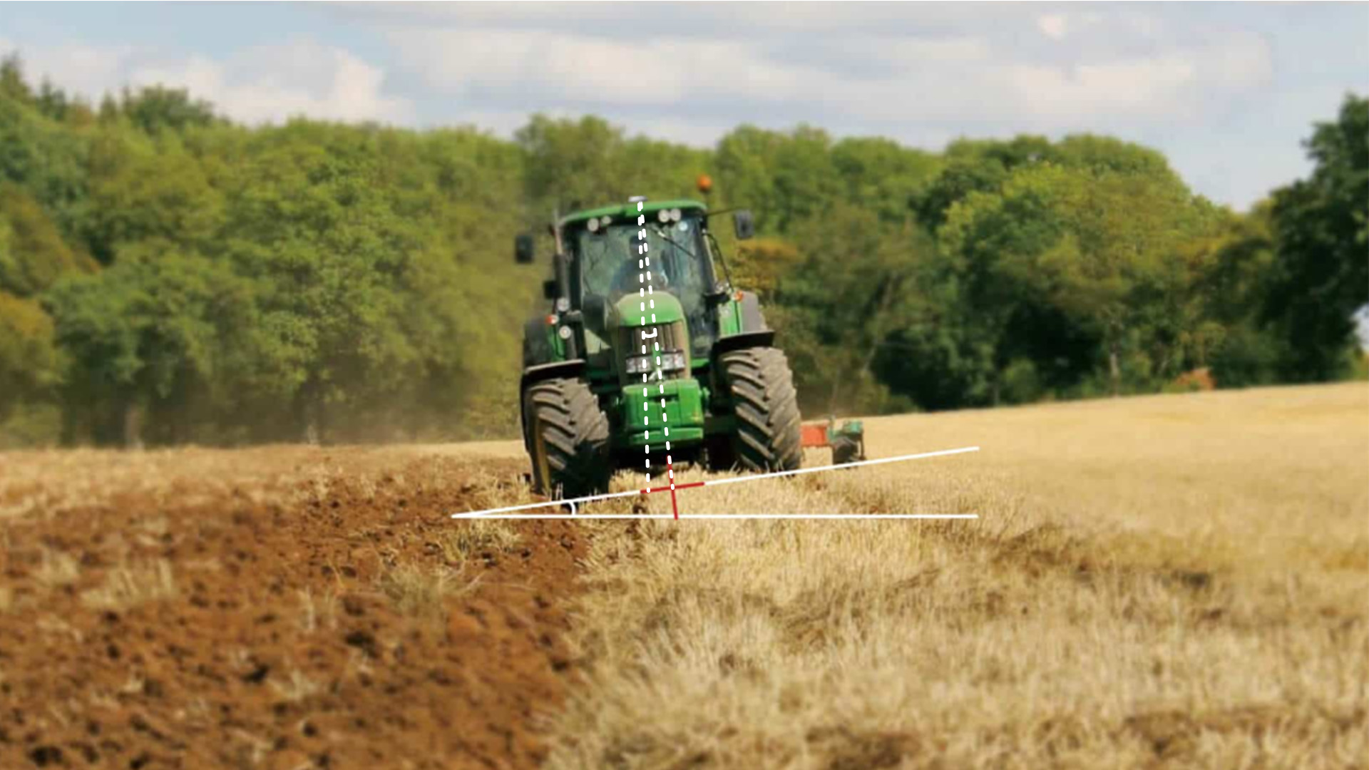
Maintain 2.5 cm accuracy to meet multiple agricultural demands, including working on sloping terrain, performing low-speed tasks such as planting potatoes, and performing high-speed operations such as crop protection and fertilization.
- Wide speed range – 0,1 km/h a 26 km/h
- Terrain Compensation – Maintain accuracy when driving on steep or hilly terrain.
Automatic U-turn for effortless operation
Designed to smoothly guide your tractor through smooth automatic turns at the end of rows, it optimizes maneuverability and ensures continuity in your daily farming operations.
Intelligent U-turn
Basic U-turn (Ω-shape)
Basic U-turn (fishtail shape)
Comparison
| Smart U-turn | Basic U-turn (Ω-shape and fishtail shape) | |
| Field type | Large fields | Any form of field, especially small fields. |
| Route planning | Optimal route to complete the task | Flexible path for each turn |
| U-turn method | Uninterrupted U-turn | Uninterrupted U-turns or a single U-turn |
| Closing of promontory | √ | x |
| Limit Warning | √ | √ |
| Avoiding overlaps | Omitting the worked area when planning the route | x |
Convenient implement control with ISOBUS
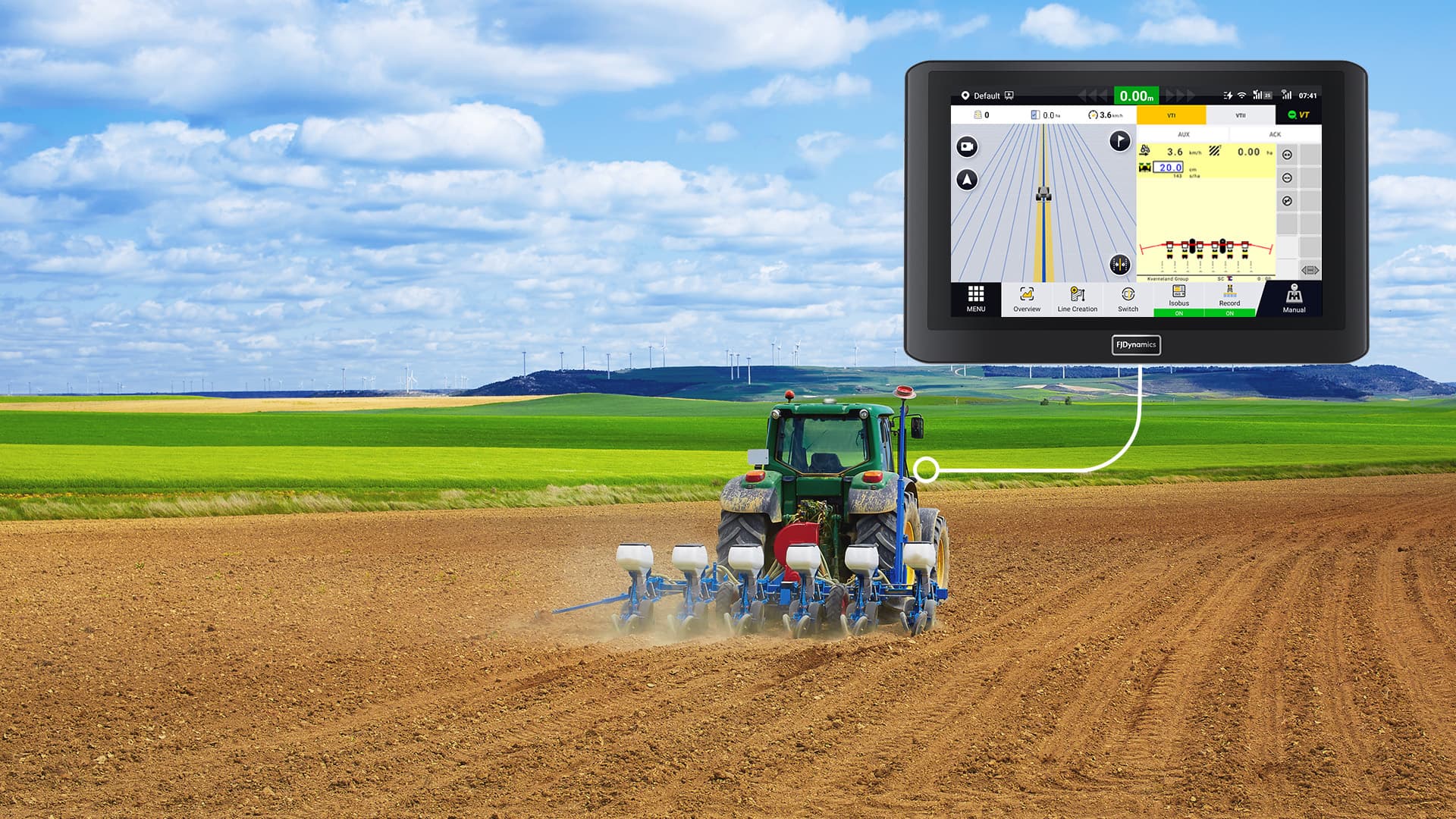
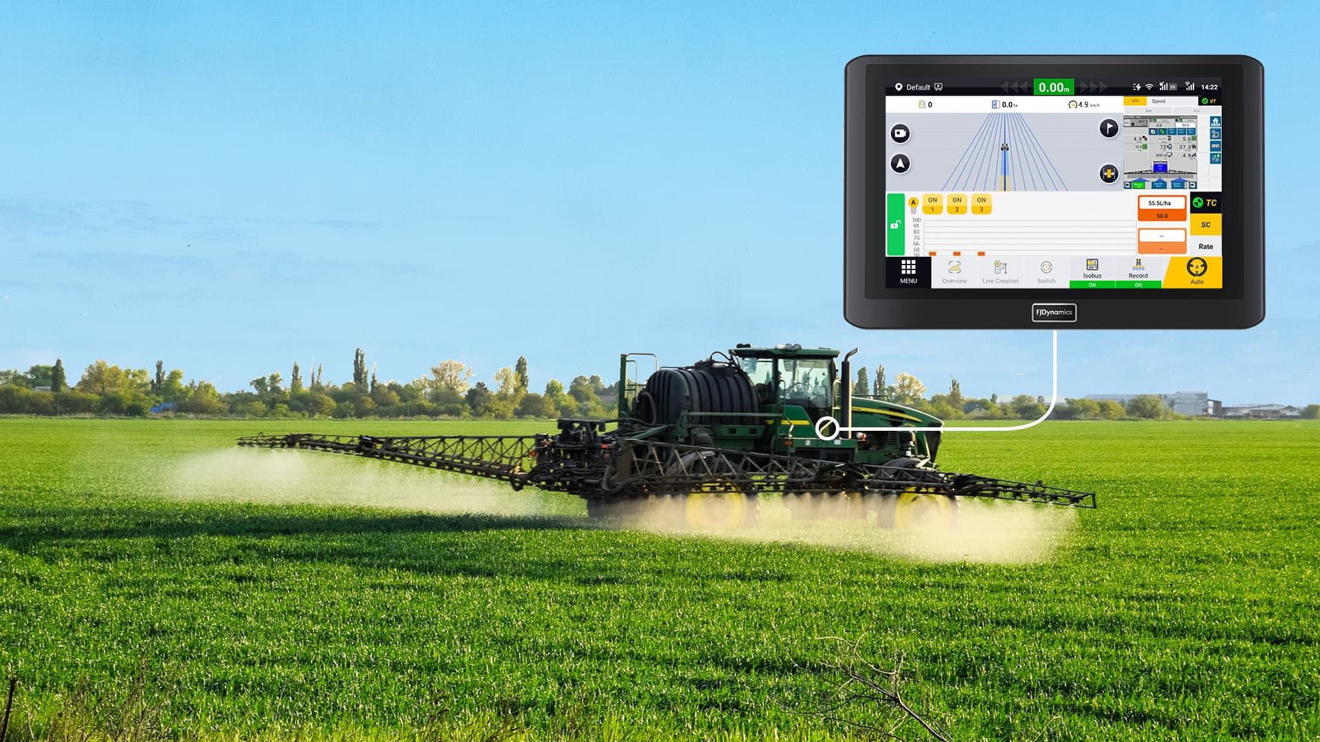
ISOBUS enables accurate and efficient control of multiple implements on a single terminal, simplifying operations and improving usability.
Virtual Terminal (VT)
Task Controller (TC)
Multiple correction signals are supported
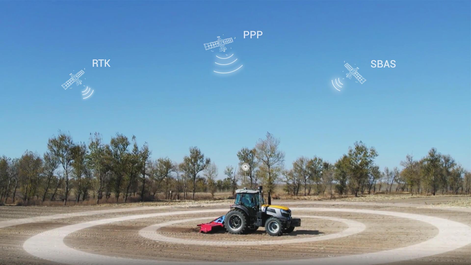
- Exceptional accuracy with RTK – Achieve 2.5 cm accuracy for high precision farming needs.
- Free PPP and SBAS – Deliver decimeter-level accuracy without Internet restrictions.
Intelligent route planning for different scenarios
Regular options
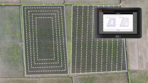
Straight line, curve, A+ line and pivot modes are available for various field shapes and operating needs.
Promontory
Generate guidance lines based on the shape of the boundary and select the entire boundary or specific segments as guidance line.
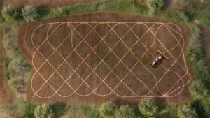
Diagonal tearing
Generate optimal routes for efficient and complete raking.
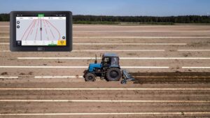
Streetcar line
Generate lanes on the current guidance line to create parallel tracks with unplanted spaces for spraying operations.

Line group
Save completed routes and convert them into line groups for later use or export to other systems, or import those drawn on other platforms to pre-plan routes.
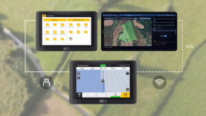
GIS Information Transfer
Easily transfer field data between machines using a USB memory stick in standard GIS format, or import field data generated in the Farm Management System (FMS), saving time and improving efficiency.
Connect your automatic address
We’ve got you covered for all seasons



Advanced option

Available worldwide
Covers RTX services worldwide even in the most remote areas without network access.
Centimeter-level accuracy
It provides a consistent and reliable accuracy of 2.5 cm to help you get the job done right.
No base station required
Get rid of problematic configuration and limited working range.
Free of network restrictions
Achieve reliable high accuracy in areas with poor network conditions or even no network at all.
Accessories
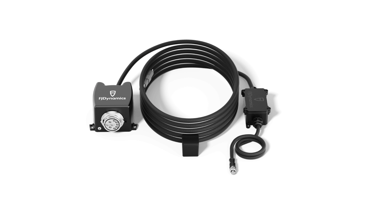
ISOBUS FJD

FJD WiFi camera

Easy control of FJD
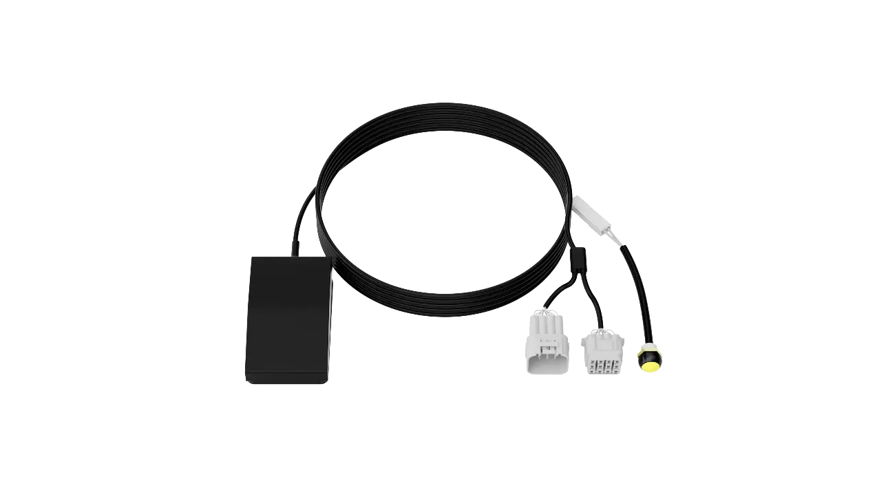
Easy switch FJD
Reliable RTK positioning infrastructure for increased precision
Power your precision farming products with highly reliable and accurate RTK signals from our advanced base stations. Designed to improve farming operations, these stations offer centimeter accuracy, significantly increasing overall efficiency and productivity.

Base Station FJD V1
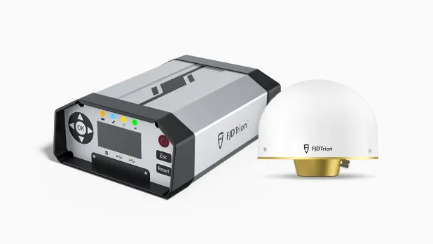
Sistema FJD Trion™️ N10 CORS

FJD N20 High Power Fixed GNSS Station
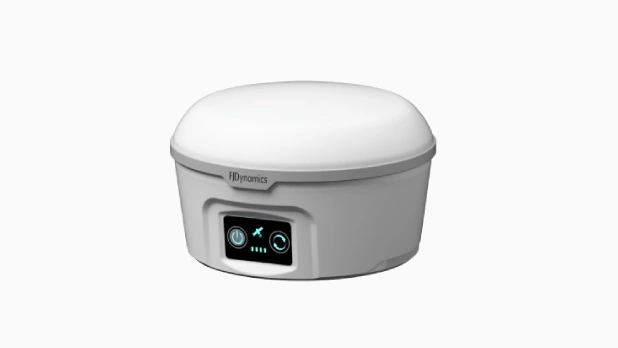
Satellite navigation base station FJD
SPECS
FJD AT2 Specifications
Control terminal
Size: 275 × 180 ×40 mm
Power supply: 9 V – 36 V
Network module: 4G, 3G, 2G
IP protection rating: IP65
Electric Handwheel
Size: 410 × 410 ×135 mm
Maximum torque: 30 N-m
Power supply: 12 V/24 V
GNSS receiver
Size: 162 × 64.5 mm
Frequency: GPS: L1C/A, L1C, L2P(W), L2C, L5; GLONASS: L1, L2;
BDS: B1I, B2I, B3I, B1C, B2a;
Galileo: E1, E5a, E5b; QZSS: L1, L2, L5
IP rating: IP66
Angle sensor
Operating temperature -20 ~ 85℃.
IP rating: IP67

