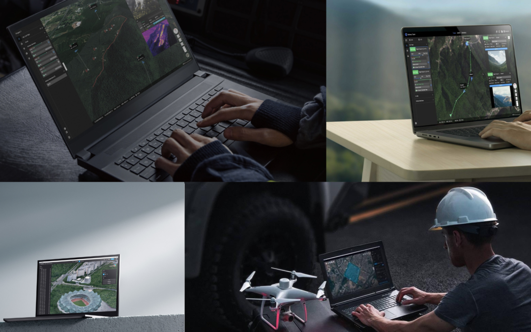
DJI offers various software solutions that, integrated with its drones, expand the possibilities for use in sectors such as agriculture, mapping, public safety, logistics and many more. Below, we explore some of DJI’s key software solutions.
DJI Terra
DJI Terra is a specialized 3D mapping and modeling software, ideal for creating detailed and accurate maps from drone imagery. It is widely used in sectors such as agriculture, construction, mining and urban planning. DJI Terra allows the creation of orthomosaics, digital elevations and 3D models through an intuitive interface, which facilitates image processing. With this software, it is possible to perform infrastructure inspections, plan agricultural operations with greater precision and create detailed 3D models of land and buildings.
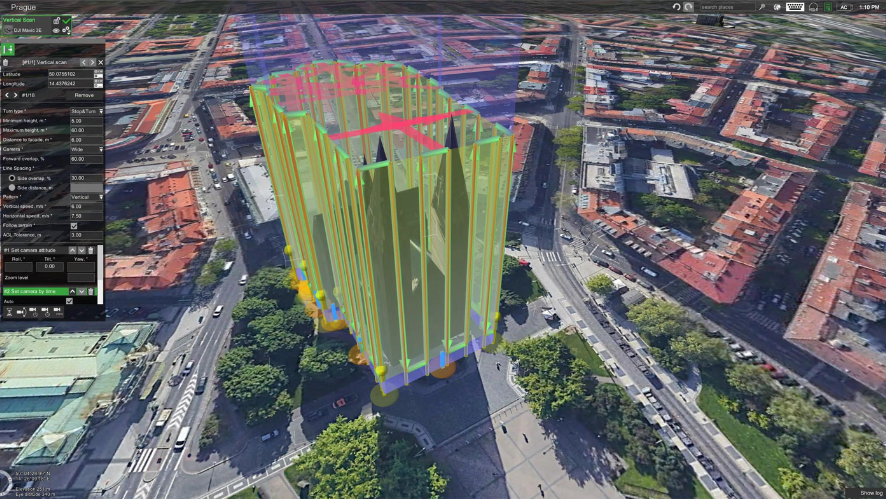
The software allows planning various missions, such as planning landmark missions, area missions, oblique missions, corridor missions and inspection missions. It also allows you to create routes, automate missions and capture a data set for 3D models by adjusting camera angle, altitude, direction and other parameters. It also facilitates image import, bulk processing of up to 400 images per 1 GB of RAM, and conversion of maps and model coordinates to more than 8,500 major coordinate systems.
Main features
- Mission planning
- Continuous workflow
- Real-time mapping
- 2D / 2D multispectral reconstruction
- 3D models
- Online / offline mode
More information here: https://hp-drones.com/drones/dji-terra/
DJI Modify
DJI Modify is a smart 3D model editing software designed to provide a simple and efficient experience. With an intuitive interface, it allows users to start working quickly, without the need for lengthy familiarization. It offers practical editing tools, such as quick floating part removal, vehicle flattening and automatic texture repair, facilitating workflow and reducing manual effort. The ability to edit both high and low quality models in a single interface, with instantaneous display of changes, makes it a versatile solution for a wide variety of applications.
Among its many functionalities, this software also allows you to import and export model files in an agile way. Features such as real-time water surface creation and adjustment and multiple selection methods offer additional flexibility when editing 3D models. When used in conjunction with DJI Enterprise and DJI Terra drones, DJI Modify offers a complete and highly efficient solution for operations requiring high-precision aerial surveying, modeling and editing, ideal for use in mapping, emergency response and transportation.
Main features
- Simple interface
- Efficient workflow
- Hole filling
- Water surface repair
- Cloud sharing
- Intelligent model recognition
More information here: https://hp-drones.com/drones/dji-modify/
DJI DeliveryHub
DJI DeliveryHub is the software solution designed to manage and optimize drone delivery operations. The platform enables real-time monitoring of drone status, including visualization of drone position, flight paths and live camera images, through a 2.5D basemap displaying global elevation data. The system synchronizes and displays the status of operations on multiple devices, such as remote controls, mobile devices and computers, fostering effective collaboration between teams. DeliveryHub also collects and displays data by device, route and time, so the user can evaluate efficiency and optimize future operations.
Main features
- Remote operation planning
- Delivery confirmation notification
- Automatic operations
- Data security
DJI FlightHub 2
DJI FlightHub 2 is a comprehensive drone operations management platform that enables companies and organizations to monitor, manage and coordinate their drone fleets in real-time, all from a centralized interface. FlightHub 2 offers advanced features such as flight tracking, mission data management and real-time communication with field teams. It is an essential tool for sectors such as public safety, energy, infrastructure inspection and emergency response. Its ability to integrate with other DJI solutions and third-party platforms makes FlightHub 2 a multi-faceted option for complex operations that require tight coordination and oversight. Unlike other platforms, DJI FlightHub 2 is compatible with specific drones such as the M300 RTK / M350 RTK, M30 series, DJI Dock and Mavic 3 Enterprise.
Main features
- Cloud mapping
- Accurate flight path planning
- Scheduled drone operations with DJI Dock
- Remote maintenance
- Alerts
DJI’s software plays a crucial role in complementing the company’s drone hardware, expanding the possibilities for use in various sectors. Whether for mapping and 3D modeling with DJI Terra, model customization with DJI Modify, delivery management with DJI DeliveryHub or centralized operations control with DJI FlightHub 2, DJI offers solutions that meet a wide range of operational needs, contributing to the evolution of drone use worldwide. Contact our sales department and find out more about DJI solutions.
More information here: https://hp-drones.com/drones/flighthub-2/
_________________________________________________________________________________________________________

